Earthquake 3 km SE of Loma Linda, CA
Fri, 06 Feb 2026 21:05:49 GMT
Time1 hour ago
Location
34.0280, -117.2443
Depth
3.5 KM
Event Summary
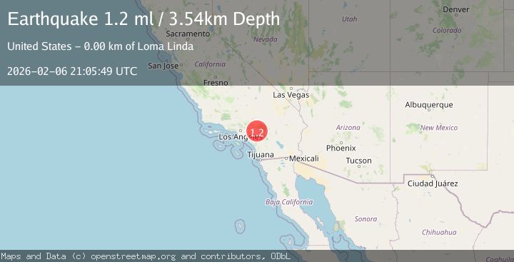
A 1.2 magnitude earthquake struck on 3 km SE of Loma Linda, CA, at Fri, 06 Feb 2026 21:05:49 GMT. Depth: 3.54km. Reviewed by USGS seismologists, this minor quake occurred at a magnitude type of ml.
Magnitude
1.2
ml
Source
USGS
Intensity
-
Agency Reports
1 Sources| Source | Magnitude | Depth | Time |
|---|---|---|---|
| USGSPrimary | 1.2 | 4 km | 1 hour ago |
Earthquake Details
AutomaticEvent IDusgs_ci41393128
Tsunami PotentialNo
Magnitude Typeml
Nearest Places
Comments
Join the discussion about this event.
Latest Earthquakes
2.6Mag
Timor Region
Time14 minutes ago
Depth35.89 km
SourceBMKG (Automatic)
2.8Mag
Bali Sea
Time22 minutes ago
Depth15.77 km
SourceBMKG (Automatic)
2.6Mag
Java, Indonesia
Time25 minutes ago
Depth12.69 km
SourceBMKG (Automatic)
1.3Mag
4 km W of Cobb, CA
Time29 minutes ago
Depth2.02 km
SourceUSGS (Automatic)
1.1Mag
2 km ESE of Tres Pinos, CA
Time30 minutes ago
Depth7.90 km
SourceUSGS (Automatic)
Nearby Earthquakes
0.7Mag
3 km SSE of Loma Linda, CA
Time5 days ago
Depth2.82 km
SourceUSGS (Automatic)
1.3Mag
2 km SE of Loma Linda, CA
Time5 days ago
Depth14.22 km
SourceUSGS (Automatic)
1.5Mag
2 km SE of Loma Linda, CA
Time2 days ago
Depth6.59 km
SourceUSGS (Automatic)
1.4Mag
1 km SE of Loma Linda, CA
Time1 day ago
Depth8.57 km
SourceUSGS (Automatic)
1.3Mag
1 km E of Loma Linda, CA
Time2 days ago
Depth16.54 km
SourceUSGS (Automatic)