Earthquake Southern Sumatra, Indonesia
Sat, 07 Feb 2026 10:03:40 GMT
Time1 hour ago
Location
-0.4438, 98.8572
Depth
16.0 KM
Event Summary
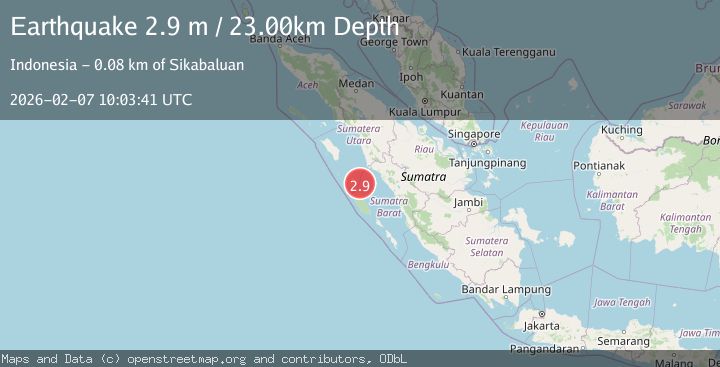
A 2.9 magnitude earthquake struck on Southern Sumatra, Indonesia, at Sat, 07 Feb 2026 10:03:40 GMT. Depth: 16.015152km. Reviewed by BMKG seismologists, this minor quake occurred at a magnitude type of M.
Magnitude
2.9
M
Source
BMKG
Intensity
-
Agency Reports
1 Sources| Source | Magnitude | Depth | Time |
|---|---|---|---|
| BMKGPrimary | 2.9 | 23 km | 1 hour ago |
Earthquake Details
AutomaticEvent IDbmg2026cqjn
Tsunami PotentialNo
Magnitude TypeM
Nearest Places
- Desa Bawo Analita Saeru34.5 km
- Pulau Karanganjing34.6 km
- Tanjung Saire36.6 km
- Tanjung Anjing37.1 km
- Pulau Nujambolo37.4 km
Comments
Join the discussion about this event.
Latest Earthquakes
2.1Mag
31 km S of Eureka Roadhouse, Alaska
Time5 minutes ago
Depth20.60 km
SourceUSGS (Automatic)
1.7Mag
78 km ENE of McCarthy, Alaska
Time11 minutes ago
Depth5.00 km
SourceUSGS (Automatic)
3.9Mag
Minahassa Peninsula, Sulawesi
Time15 minutes ago
Depth17.61 km
SourceBMKG (Automatic)
5.3Mag
PRINCE EDWARD ISLANDS REGION
Time19 minutes ago
Depth10.00 km
SourceEMSC (Automatic)
2.3Mag
3 km SSE of Knik, Alaska
Time21 minutes ago
Depth20.60 km
SourceUSGS (Automatic)
Nearby Earthquakes
2.7Mag
Southern Sumatra, Indonesia
Time1 week ago
Depth22.17 km
SourceBMKG (Automatic)
3.0Mag
Southern Sumatra, Indonesia
Time4 days ago
Depth10.00 km
SourceBMKG (Automatic)
2.5Mag
Southern Sumatra, Indonesia
Time2 days ago
Depth14.57 km
SourceBMKG (Automatic)
2.8Mag
Southern Sumatra, Indonesia
Time4 days ago
Depth43.49 km
SourceBMKG (Automatic)
3.6Mag
Southern Sumatra, Indonesia
Time1 week ago
Depth41.61 km
SourceBMKG (Automatic)