Earthquake Southern Sumatra, Indonesia
Sat, 31 Jan 2026 10:51:27 GMT
Time3 hours ago
Location
-0.6744, 99.1927
Depth
41.6 KM
Event Summary
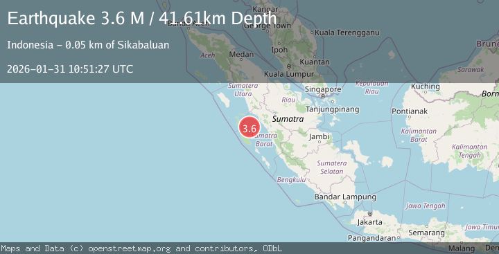
A 3.6 magnitude earthquake struck on Southern Sumatra, Indonesia, at Sat, 31 Jan 2026 10:51:27 GMT. Depth: 41.608814km. Reviewed by BMKG seismologists, this minor quake occurred at a magnitude type of M.
Magnitude
3.6
M
Source
BMKG
Intensity
-
Agency Reports
1 Sources| Source | Magnitude | Depth | Time |
|---|---|---|---|
| BMKGPrimary | 3.6 | 42 km | 3 hours ago |
Earthquake Details
AutomaticEvent IDbmg2026cdqp
Tsunami PotentialNo
Magnitude TypeM
Nearest Places
- Karang Drakes35.4 km
- Karang West Pylades36.4 km
- Karang East Pylades38.4 km
- Pulau Masiem41.3 km
- Tanjung Simabae42.5 km
Comments
Join the discussion about this event.
Latest Earthquakes
1.6Mag
11 km NNW of Alamo, Nevada
Time3 hours ago
Depth15.82 km
SourceUSGS (Automatic)
4.8Mag
BONIN ISLANDS, JAPAN REGION
Time3 hours ago
Depth10.00 km
SourceNEIC (Automatic)
4.8Mag
Bonin Islands, Japan region
Time3 hours ago
Depth10.00 km
SourceUSGS
2.9Mag
JUJUY, ARGENTINA
Time3 hours ago
Depth210.30 km
SourceCSN (Automatic)
1.4Mag
WESTERN TURKEY
Time3 hours ago
Depth16.00 km
SourceAFAD (Automatic)
Nearby Earthquakes
2.8Mag
Southern Sumatra, Indonesia
Time1 day ago
Depth38.19 km
SourceBMKG (Automatic)
2.7Mag
Southern Sumatra, Indonesia
Time5 days ago
Depth22.17 km
SourceBMKG (Automatic)
4.1Mag
KEP. MENTAWAI REGION, INDONESIA
Time1 week ago
Depth48.00 km
SourceBMKG (Automatic)
2.7Mag
Northern Sumatra, Indonesia
Time2 days ago
Depth14.71 km
SourceBMKG (Automatic)
2.5Mag
NORTHERN SUMATRA, INDONESIA
Time1 week ago
Depth8.00 km
SourceBMKG (Automatic)