Earthquake Talaud Islands, Indonesia
Sun, 08 Feb 2026 07:56:58 GMT
Time1 hour ago
Location
4.9702, 127.4252
Depth
87.0 KM
Event Summary
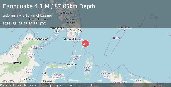
A 4.1 magnitude earthquake struck on Talaud Islands, Indonesia, at Sun, 08 Feb 2026 07:56:58 GMT. Depth: 87.045937km. Reviewed by BMKG seismologists, this light quake occurred at a magnitude type of M.
Magnitude
4.1
M
Source
BMKG
Intensity
-
Agency Reports
1 Sources| Source | Magnitude | Depth | Time |
|---|---|---|---|
| BMKGPrimary | 4.1 | 87 km | 1 hour ago |
Earthquake Details
AutomaticEvent IDbmg2026csaw
Tsunami PotentialNo
Magnitude TypeM
Nearest Places
- Desa Marampit Timur39.6 km
- Desa Marampit40.3 km
- Kecamatan Nanusa40.8 km
- Pulau Marampit40.9 km
- Desa Dampulis41.3 km
Comments
Join the discussion about this event.
Latest Earthquakes
1.0Mag
14 km N of Four Mile Road, Alaska
Time22 minutes ago
Depth5.50 km
SourceUSGS (Automatic)
2.3Mag
CENTRAL TURKEY
Time30 minutes ago
Depth9.00 km
SourceKOERI (Automatic)
3.3Mag
Halmahera, Indonesia
Time30 minutes ago
Depth10.00 km
SourceBMKG (Automatic)
2.9Mag
10 km SSW of Valencia, CA
Time45 minutes ago
Depth10.43 km
SourceUSGS (Automatic)
1.6Mag
10 km S of Forsan, Texas
Time56 minutes ago
Depth1.25 km
SourceUSGS (Automatic)
Nearby Earthquakes
4.2Mag
Talaud Islands, Indonesia
Time1 week ago
Depth84.79 km
SourceBMKG (Automatic)
4.4Mag
Philippine Islands Region
Time10 hours ago
Depth10.00 km
SourceBMKG (Automatic)
3.4Mag
MINDANAO, PHILIPPINES
Time1 week ago
Depth83.00 km
SourcePIVS (Automatic)
3.3Mag
MINDANAO, PHILIPPINES
Time2 weeks ago
Depth3.00 km
SourcePIVS (Automatic)
3.5Mag
Talaud Islands, Indonesia
Time6 days ago
Depth2.76 km
SourceBMKG (Automatic)