Earthquake West Papua Region, Indonesia
Sun, 08 Feb 2026 14:15:24 GMT
Time1 hour ago
Location
-0.2818, 132.9831
Depth
10.0 KM
Event Summary
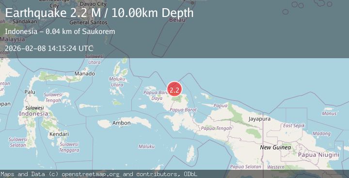
A 2.2 magnitude earthquake struck on West Papua Region, Indonesia, at Sun, 08 Feb 2026 14:15:24 GMT. Depth: 10km. Reviewed by BMKG seismologists, this minor quake occurred at a magnitude type of M.
Magnitude
2.2
M
Source
BMKG
Intensity
-
Agency Reports
1 Sources| Source | Magnitude | Depth | Time |
|---|---|---|---|
| BMKGPrimary | 2.2 | 10 km | 1 hour ago |
Earthquake Details
AutomaticEvent IDbmg2026csni
Tsunami PotentialNo
Magnitude TypeM
Nearest Places
- Tanjung Saukris19.5 km
- Saukris20.8 km
- Sungai Manggen21.2 km
- Waibeem21.8 km
- Wau21.9 km
Comments
Join the discussion about this event.
Latest Earthquakes
2.0Mag
Sumba Region, Indonesia
Time8 minutes ago
Depth14.65 km
SourceBMKG (Automatic)
1.1Mag
NORTHERN ITALY
Time8 minutes ago
Depth0.00 km
SourceOGS (Automatic)
1.7Mag
36 km NW of Toyah, Texas
Time9 minutes ago
Depth7.83 km
SourceUSGS (Automatic)
3.0Mag
SOUTH OF ALASKA
Time9 minutes ago
Depth5.00 km
SourceAK (Automatic)
2.0Mag
Sumbawa Region, Indonesia
Time11 minutes ago
Depth21.24 km
SourceBMKG (Automatic)
Nearby Earthquakes
2.5Mag
West Papua Region, Indonesia
Time1 week ago
Depth59.04 km
SourceBMKG (Automatic)
2.1Mag
West Papua Region, Indonesia
Time2 weeks ago
Depth10.00 km
SourceBMKG (Automatic)
2.6Mag
West Papua Region, Indonesia
Time1 week ago
Depth10.93 km
SourceBMKG (Automatic)
2.1Mag
West Papua Region, Indonesia
Time2 weeks ago
Depth14.74 km
SourceBMKG (Automatic)
2.4Mag
West Papua Region, Indonesia
Time1 week ago
Depth10.00 km
SourceBMKG (Automatic)