Earthquake West Papua Region, Indonesia
Sun, 01 Feb 2026 00:05:43 GMT
Time1 week ago
Location
0.0087, 132.8048
Depth
59.0 KM
Event Summary
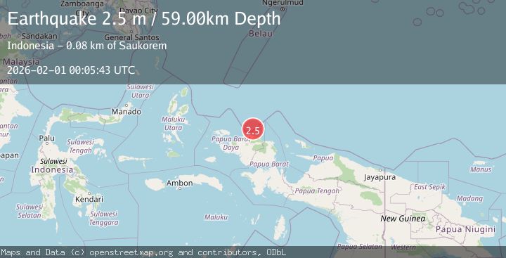
A 2.5 magnitude earthquake struck on West Papua Region, Indonesia, at Sun, 01 Feb 2026 00:05:43 GMT. Depth: 59.0364km. Reviewed by BMKG seismologists, this minor quake occurred at a magnitude type of M.
Magnitude
2.5
M
Source
BMKG
Intensity
-
Agency Reports
1 Sources| Source | Magnitude | Depth | Time |
|---|---|---|---|
| BMKGPrimary | 2.5 | 59 km | 1 week ago |
Earthquake Details
AutomaticEvent IDbmg2026cequ
Tsunami PotentialNo
Magnitude TypeM
Nearest Places
- Tanjung Saukorem42.6 km
- Tanjung Waios42.9 km
- Sungai Wenyef44.1 km
- Sungai Mandi44.9 km
- Warmandi45.1 km
Comments
Join the discussion about this event.
Latest Earthquakes
1.5Mag
35 km W of Karluk, Alaska
Time5 minutes ago
Depth5.00 km
SourceUSGS (Automatic)
2.7Mag
Southern Sumatra, Indonesia
Time12 minutes ago
Depth47.77 km
SourceBMKG (Automatic)
3.1Mag
JAVA, INDONESIA
Time13 minutes ago
Depth13.00 km
SourceBMKG (Automatic)
2.0Mag
WESTERN TEXAS
Time24 minutes ago
Depth8.40 km
SourceTX (Automatic)
2.2Mag
Bali Sea
Time24 minutes ago
Depth10.00 km
SourceBMKG (Automatic)
Nearby Earthquakes
2.2Mag
West Papua Region, Indonesia
Time2 hours ago
Depth10.00 km
SourceBMKG (Automatic)
2.1Mag
West Papua Region, Indonesia
Time2 weeks ago
Depth10.00 km
SourceBMKG (Automatic)
2.6Mag
West Papua Region, Indonesia
Time1 week ago
Depth10.93 km
SourceBMKG (Automatic)
2.1Mag
West Papua Region, Indonesia
Time2 weeks ago
Depth14.74 km
SourceBMKG (Automatic)
2.4Mag
West Papua Region, Indonesia
Time1 week ago
Depth10.00 km
SourceBMKG (Automatic)