Earthquake West Papua Region, Indonesia
Sun, 08 Feb 2026 17:18:27 GMT
Time3 hours ago
Location
-2.8121, 136.6704
Depth
10.0 KM
Event Summary
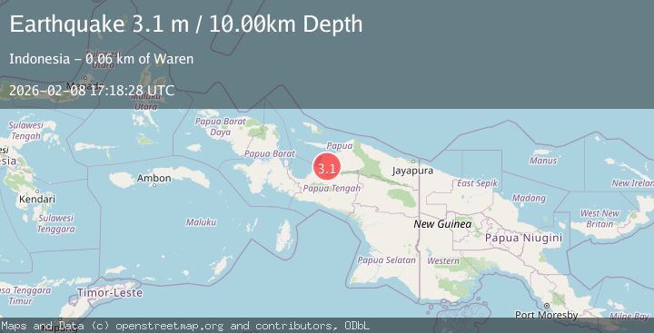
A 3.1 magnitude earthquake struck on West Papua Region, Indonesia, at Sun, 08 Feb 2026 17:18:27 GMT. Depth: 10km. Reviewed by BMKG seismologists, this minor quake occurred at a magnitude type of M.
Magnitude
3.1
M
Source
BMKG
Intensity
-
Agency Reports
1 Sources| Source | Magnitude | Depth | Time |
|---|---|---|---|
| BMKGPrimary | 3.1 | 10 km | 3 hours ago |
Earthquake Details
AutomaticEvent IDbmg2026cstj
Tsunami PotentialNo
Magnitude TypeM
Nearest Places
- Kabupaten Waropen9.5 km
- Kampung Firo13.1 km
- Kampung Borumei13.7 km
- Kampung Ghaiwando17.7 km
- Kampung Meniupi18.5 km
Comments
Join the discussion about this event.
Latest Earthquakes
1.4Mag
14 km SSW of Borrego Springs, CA
Time3 hours ago
Depth8.53 km
SourceUSGS (Automatic)
3.6Mag
SOUTH AFRICA
Time3 hours ago
Depth10.00 km
SourceSASN (Automatic)
2.4Mag
66 km WNW of Anchor Point, Alaska
Time3 hours ago
Depth110.90 km
SourceUSGS (Automatic)
1.2Mag
13 km NW of The Geysers, CA
Time3 hours ago
Depth2.43 km
SourceUSGS (Automatic)
1.8Mag
53 km WNW of Nikiski, Alaska
Time3 hours ago
Depth97.20 km
SourceUSGS (Automatic)
Nearby Earthquakes
3.1Mag
West Papua Region, Indonesia
Time2 days ago
Depth49.15 km
SourceBMKG (Automatic)
3.5Mag
West Papua, Indonesia
Time1 week ago
Depth10.00 km
SourceBMKG (Automatic)
2.8Mag
West Papua Region, Indonesia
Time1 week ago
Depth19.31 km
SourceBMKG (Automatic)
2.5Mag
PAPUA, INDONESIA
Time1 week ago
Depth10.00 km
SourceBMKG (Automatic)
4.7Mag
West Papua, Indonesia
Time1 week ago
Depth81.32 km
SourceBMKG (Automatic)