Earthquake 53 km WNW of Nikiski, Alaska
Sun, 08 Feb 2026 16:56:32 GMT
Time1 hour ago
Location
60.8330, -152.2290
Depth
97.2 KM
Event Summary
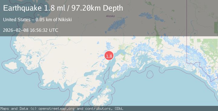
A 1.8 magnitude earthquake struck on 53 km WNW of Nikiski, Alaska, at Sun, 08 Feb 2026 16:56:32 GMT. Depth: 97.2km. Reviewed by USGS seismologists, this minor quake occurred at a magnitude type of ml.
Magnitude
1.8
ml
Source
USGS
Intensity
-
Agency Reports
1 Sources| Source | Magnitude | Depth | Time |
|---|---|---|---|
| USGSPrimary | 1.8 | 97 km | 1 hour ago |
Earthquake Details
AutomaticEvent IDusgs_ak2026ctbhko
Tsunami PotentialNo
Magnitude Typeml
Nearest Places
- Big River Lake4.3 km
- Big River Lakes6.3 km
- North Fork Big River7.3 km
- South Fork Big River7.7 km
- West Fork Bachatna Creek9.8 km
Comments
Join the discussion about this event.
Latest Earthquakes
2.4Mag
66 km WNW of Anchor Point, Alaska
Time1 hour ago
Depth110.90 km
SourceUSGS (Automatic)
1.2Mag
13 km NW of The Geysers, CA
Time1 hour ago
Depth2.43 km
SourceUSGS (Automatic)
2.1Mag
ALBANIA
Time1 hour ago
Depth15.00 km
SourceIGEO (Automatic)
2.0Mag
BALEARIC ISLANDS, SPAIN
Time2 hours ago
Depth7.20 km
SourceIGN (Automatic)
3.4Mag
ICELAND REGION
Time2 hours ago
Depth7.40 km
SourceIMO (Automatic)
Nearby Earthquakes
1.4Mag
70 km WNW of Nikiski, Alaska
Time6 hours ago
Depth129.20 km
SourceUSGS (Automatic)
2.5Mag
61 km W of Tyonek, Alaska
Time4 days ago
Depth117.10 km
SourceUSGS (Automatic)
2.2Mag
60 km W of Tyonek, Alaska
Time2 weeks ago
Depth113.30 km
SourceUSGS (Automatic)
2.0Mag
66 km W of Salamatof, Alaska
Time6 days ago
Depth116.30 km
SourceUSGS (Automatic)
2.2Mag
62 km W of Tyonek, Alaska
Time4 days ago
Depth113.70 km
SourceUSGS (Automatic)