Earthquake 66 km WNW of Anchor Point, Alaska
Sun, 08 Feb 2026 17:06:55 GMT
Time2 hours ago
Location
59.9830, -152.9540
Depth
110.9 KM
Event Summary
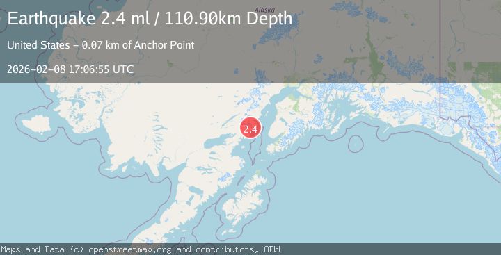
A 2.4 magnitude earthquake struck on 66 km WNW of Anchor Point, Alaska, at Sun, 08 Feb 2026 17:06:55 GMT. Depth: 110.9km. Reviewed by USGS seismologists, this minor quake occurred at a magnitude type of ml.
Magnitude
2.4
ml
Source
USGS
Intensity
-
Agency Reports
1 Sources| Source | Magnitude | Depth | Time |
|---|---|---|---|
| USGSPrimary | 2.4 | 111 km | 2 hours ago |
Earthquake Details
AutomaticEvent IDusgs_ak2026ctbqjf
Tsunami PotentialNo
Magnitude Typeml
Nearest Places
- Squirrel Creek1.2 km
- Red Glacier3.0 km
- Boulder Creek3.1 km
- Blue Lake3.5 km
- Hickerson Lake5.6 km
Comments
Join the discussion about this event.
Latest Earthquakes
1.2Mag
13 km NW of The Geysers, CA
Time2 hours ago
Depth2.43 km
SourceUSGS (Automatic)
1.8Mag
53 km WNW of Nikiski, Alaska
Time2 hours ago
Depth97.20 km
SourceUSGS (Automatic)
2.1Mag
ALBANIA
Time2 hours ago
Depth15.00 km
SourceIGEO (Automatic)
3.4Mag
ICELAND REGION
Time2 hours ago
Depth7.40 km
SourceIMO (Automatic)
1.7Mag
STRAIT OF GIBRALTAR
Time2 hours ago
Depth0.00 km
SourceIGN (Automatic)
Nearby Earthquakes
1.9Mag
64 km WNW of Anchor Point, Alaska
Time2 weeks ago
Depth114.20 km
SourceUSGS (Automatic)
2.2Mag
69 km ENE of Pedro Bay, Alaska
Time1 week ago
Depth109.20 km
SourceUSGS (Automatic)
0.8Mag
62 km WNW of Anchor Point, Alaska
Time1 day ago
Depth143.00 km
SourceUSGS (Automatic)
2.0Mag
59 km WNW of Anchor Point, Alaska
Time22 hours ago
Depth110.00 km
SourceUSGS (Automatic)
3.0Mag
64 km WNW of Happy Valley, Alaska
Time1 week ago
Depth121.40 km
SourceUSGS (Automatic)