Earthquake West Papua Region, Indonesia
Tue, 10 Feb 2026 19:05:25 GMT
Time1 week ago
Location
-0.3521, 132.1848
Depth
15.4 KM
Event Summary
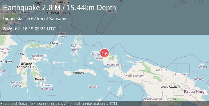
A 2.0 magnitude earthquake struck on West Papua Region, Indonesia, at Tue, 10 Feb 2026 19:05:25 GMT. Depth: 15.444488km. Reviewed by BMKG seismologists, this minor quake occurred at a magnitude type of M.
Magnitude
2.0
M
Source
BMKG
Intensity
-
Agency Reports
1 Sources| Source | Magnitude | Depth | Time |
|---|---|---|---|
| BMKGPrimary | 2.0 | 15 km | 1 week ago |
Earthquake Details
ManualEvent IDbmg2026cwnx
Tsunami PotentialNo
Magnitude TypeM
Nearest Places
- Mios Su0.7 km
- Pulau Amsterdam1.6 km
- Pulau Middelburg2.2 km
- GKI Effata Werbes7.0 km
- Werbes7.0 km
Comments
Join the discussion about this event.
Latest Earthquakes
1.6Mag
Southern Alaska
Time2 minutes ago
Depth91.31 km
SourceVYT (Automatic)
2.2Mag
Antofagasta, Chile
Time4 minutes ago
Depth0.00 km
SourceVYT (Automatic)
2.3Mag
Antofagasta, Chile
Time8 minutes ago
Depth106.32 km
SourceVYT (Automatic)
3.6Mag
Celebes Sea
Time11 minutes ago
Depth187.38 km
SourceVYT (Automatic)
2.5Mag
western Texas
Time17 minutes ago
Depth0.00 km
SourceVYT (Automatic)
Nearby Earthquakes
4.0Mag
NEAR N COAST OF PAPUA, INDONESIA
Time5 years ago
Depth10.00 km
SourceNEIC (Automatic)
2.6Mag
NEAR N COAST OF PAPUA, INDONESIA
Time1 month ago
Depth10.00 km
SourceBMKG (Automatic)
2.8Mag
NEAR N COAST OF PAPUA, INDONESIA
Time1 month ago
Depth10.00 km
SourceBMKG (Automatic)
4.0Mag
NEAR N COAST OF PAPUA, INDONESIA
Time5 years ago
Depth10.00 km
SourceDJA (Automatic)
5.6Mag
NEAR N COAST OF PAPUA, INDONESIA
Time17 years ago
Depth40.00 km
SourceEMSC (Automatic)