Earthquake NEAR N COAST OF PAPUA, INDONESIA
Tue, 13 Jan 2026 18:38:26 GMT
Time1 month ago
Location
-0.3800, 132.1400
Depth
10.0 KM
Event Summary
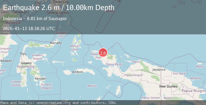
A 2.6 magnitude earthquake struck on NEAR N COAST OF PAPUA, INDONESIA, at Tue, 13 Jan 2026 18:38:26 GMT. Depth: 10km. Reviewed by BMKG seismologists, this minor quake occurred at a magnitude type of m.
Magnitude
2.6
m
Source
BMKG
Intensity
-
Agency Reports
1 Sources| Source | Magnitude | Depth | Time |
|---|---|---|---|
| BMKGPrimary | 2.6 | 10 km | 1 month ago |
Earthquake Details
AutomaticEvent IDemsc_BMKG_20260113_0000273
Tsunami PotentialNo
Magnitude Typem
Nearest Places
- Pulau Amsterdam5.0 km
- Mios Su5.4 km
- Sungai Wowei6.2 km
- Pulau Middelburg6.3 km
- Mar6.3 km
Comments
Join the discussion about this event.
Latest Earthquakes
1.7Mag
Southern Alaska
Time5 minutes ago
Depth91.31 km
SourceVYT (Automatic)
2.2Mag
Antofagasta, Chile
Time6 minutes ago
Depth0.00 km
SourceVYT (Automatic)
2.3Mag
Antofagasta, Chile
Time11 minutes ago
Depth106.32 km
SourceVYT (Automatic)
3.6Mag
Celebes Sea
Time13 minutes ago
Depth187.38 km
SourceVYT (Automatic)
2.5Mag
western Texas
Time20 minutes ago
Depth0.00 km
SourceVYT (Automatic)
Nearby Earthquakes
2.0Mag
West Papua Region, Indonesia
Time1 week ago
Depth15.44 km
SourceBMKG
4.0Mag
NEAR N COAST OF PAPUA, INDONESIA
Time5 years ago
Depth10.00 km
SourceNEIC (Automatic)
2.8Mag
NEAR N COAST OF PAPUA, INDONESIA
Time1 month ago
Depth10.00 km
SourceBMKG (Automatic)
5.6Mag
NEAR N COAST OF PAPUA, INDONESIA
Time17 years ago
Depth40.00 km
SourceEMSC (Automatic)
3.0Mag
NEAR N COAST OF PAPUA, INDONESIA
Time1 year ago
Depth10.00 km
SourceBMKG (Automatic)