Earthquake NEAR N COAST OF PAPUA, INDONESIA
Sat, 03 Jan 2009 22:23:49 GMT
Time17 years ago
Location
-0.4700, 132.2600
Depth
40.0 KM
Event Summary
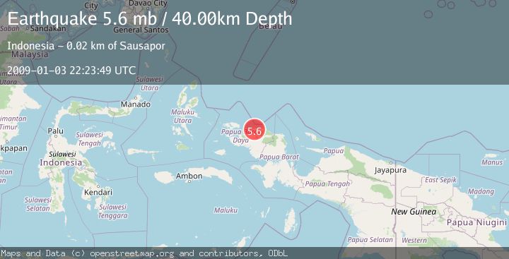
A 5.6 magnitude earthquake struck on NEAR N COAST OF PAPUA, INDONESIA, at Sat, 03 Jan 2009 22:23:49 GMT. Depth: 40km. Reviewed by EMSC seismologists, this moderate quake occurred at a magnitude type of mb.
Magnitude
5.6
mb
Source
EMSC
Intensity
-
Agency Reports
1 Sources| Source | Magnitude | Depth | Time |
|---|---|---|---|
| EMSCPrimary | 5.6 | 10 km | 17 years ago |
Earthquake Details
AutomaticEvent IDemsc_EMSC_20090103_0000116
Tsunami PotentialNo
Magnitude Typemb
Nearest Places
- Kampung Syunai1.6 km
- Kampung Werwaf2.1 km
- Kampung Bukit4.2 km
- Kampung Bikar4.4 km
- Bikar5.0 km
Comments
Join the discussion about this event.
Latest Earthquakes
0.9Mag
6 km NNE of Corralitos, CA
Time9 minutes ago
Depth6.95 km
SourceUSGS (Automatic)
2.0Mag
Seram, Indonesia
Time13 minutes ago
Depth15.15 km
SourceBMKG
4.4Mag
north of Halmahera, Indonesia
Time15 minutes ago
Depth10.00 km
SourceVYT (Automatic)
4.4Mag
NORTH OF HALMAHERA, INDONESIA
Time16 minutes ago
Depth10.00 km
SourceBMKG (Automatic)
3.1Mag
Sulawesi, Indonesia
Time18 minutes ago
Depth0.00 km
SourceVYT (Automatic)
Nearby Earthquakes
4.0Mag
NEAR N COAST OF PAPUA, INDONESIA
Time5 years ago
Depth10.00 km
SourceNEIC (Automatic)
2.0Mag
West Papua Region, Indonesia
Time1 week ago
Depth15.44 km
SourceBMKG
2.6Mag
NEAR N COAST OF PAPUA, INDONESIA
Time1 month ago
Depth10.00 km
SourceBMKG (Automatic)
5.5Mag
NEAR N COAST OF PAPUA, INDONESIA
Time16 years ago
Depth30.00 km
SourceEMSC (Automatic)
3.6Mag
NEAR N COAST OF PAPUA, INDONESIA
Time1 month ago
Depth8.00 km
SourceBMKG (Automatic)