Earthquake South of Sumbawa, Indonesia
Wed, 11 Feb 2026 12:04:48 GMT
Time1 week ago
Location
-10.9387, 118.5353
Depth
10.0 KM
Event Summary
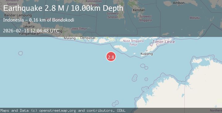
A 2.8 magnitude earthquake struck on South of Sumbawa, Indonesia, at Wed, 11 Feb 2026 12:04:48 GMT. Depth: 10km. Reviewed by BMKG seismologists, this minor quake occurred at a magnitude type of M.
Magnitude
2.8
M
Source
BMKG
Intensity
-
Agency Reports
1 Sources| Source | Magnitude | Depth | Time |
|---|---|---|---|
| BMKGPrimary | 2.8 | 10 km | 1 week ago |
Earthquake Details
ManualEvent IDbmg2026cxvn
Tsunami PotentialNo
Magnitude TypeM
Nearest Places
- Tanjung Mareha149.0 km
- Tanjung Rica149.2 km
- Pulau Baholokmonegoro149.3 km
- Tanjung Waikataku149.3 km
- Pulau Malondobara149.3 km
Comments
Join the discussion about this event.
Latest Earthquakes
2.7Mag
Near North Coast of West Papua
Time10 minutes ago
Depth45.06 km
SourceBMKG
1.2Mag
Central Alaska
Time11 minutes ago
Depth0.85 km
SourceVYT (Automatic)
2.6Mag
West Papua Region, Indonesia
Time14 minutes ago
Depth10.00 km
SourceBMKG
2.3Mag
WESTERN TURKEY
Time17 minutes ago
Depth10.10 km
SourceKOERI (Automatic)
2.6Mag
Antofagasta, Chile
Time18 minutes ago
Depth0.00 km
SourceVYT (Automatic)
Nearby Earthquakes
3.1Mag
South of Sumbawa, Indonesia
Time1 day ago
Depth10.00 km
SourceBMKG
2.9Mag
South of Sumbawa, Indonesia
Time1 week ago
Depth10.00 km
SourceBMKG
2.8Mag
South of Sumbawa, Indonesia
Time6 days ago
Depth10.00 km
SourceBMKG
3.2Mag
SOUTH OF SUMBAWA, INDONESIA
Time1 month ago
Depth14.00 km
SourceBMKG (Automatic)
2.8Mag
SOUTH OF SUMBAWA, INDONESIA
Time1 month ago
Depth10.00 km
SourceBMKG (Automatic)