Earthquake South of Sumbawa, Indonesia
Tue, 17 Feb 2026 04:04:27 GMT
Time1 day ago
Location
-10.9147, 118.4768
Depth
10.0 KM
Event Summary
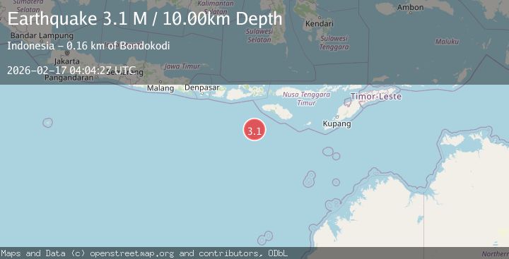
A 3.1 magnitude earthquake struck on South of Sumbawa, Indonesia, at Tue, 17 Feb 2026 04:04:27 GMT. Depth: 10km. Reviewed by BMKG seismologists, this minor quake occurred at a magnitude type of M.
Magnitude
3.1
M
Source
BMKG
Intensity
-
Agency Reports
1 Sources| Source | Magnitude | Depth | Time |
|---|---|---|---|
| BMKGPrimary | 3.1 | 10 km | 1 day ago |
Earthquake Details
ManualEvent IDbmg2026dies
Tsunami PotentialNo
Magnitude TypeM
Nearest Places
- Tanjung Mareha149.3 km
- Tanjung Waikataku149.4 km
- Pulau Malondobara149.7 km
- Tanjung Rica149.7 km
- Pulau Baholokmonegoro149.7 km
Comments
Join the discussion about this event.
Latest Earthquakes
3.5Mag
near the coast of Antofagasta, Chile
Time16 hours ago
Depth0.00 km
SourceVYT (Automatic)
1.7Mag
Southern California
Time16 hours ago
Depth0.00 km
SourceVYT (Automatic)
3.1Mag
northern Norway
Time16 hours ago
Depth707.40 km
SourceVYT (Automatic)
2.2Mag
DODECANESE IS.-TURKEY BORDER REG
Time16 hours ago
Depth46.60 km
SourceKOERI (Automatic)
2.4Mag
Albania
Time16 hours ago
Depth14.77 km
SourceVYT (Automatic)
Nearby Earthquakes
2.8Mag
South of Sumbawa, Indonesia
Time1 week ago
Depth10.00 km
SourceBMKG
2.9Mag
South of Sumbawa, Indonesia
Time1 week ago
Depth10.00 km
SourceBMKG
2.8Mag
South of Sumbawa, Indonesia
Time1 day ago
Depth10.00 km
SourceBMKG
3.1Mag
South of Sumbawa, Indonesia
Time2 weeks ago
Depth37.44 km
SourceBMKG (Automatic)
2.9Mag
SOUTH OF SUMBAWA, INDONESIA
Time2 weeks ago
Depth10.00 km
SourceBMKG (Automatic)