Earthquake Southern Sumatra, Indonesia
Fri, 13 Feb 2026 00:03:15 GMT
Time5 days ago
Location
-5.3357, 104.5420
Depth
4.3 KM
Event Summary
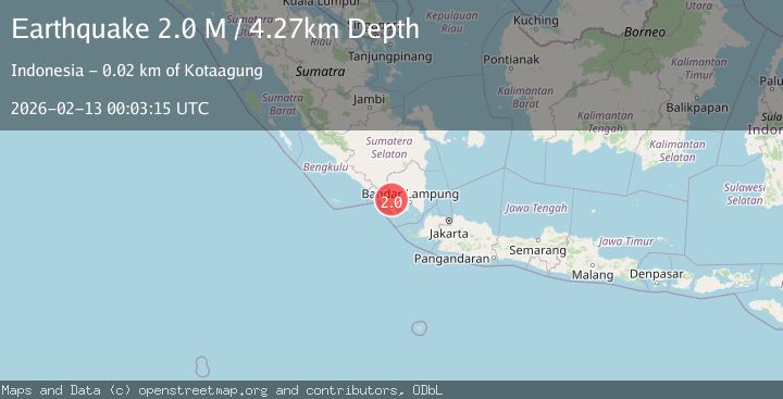
A 2.0 magnitude earthquake struck on Southern Sumatra, Indonesia, at Fri, 13 Feb 2026 00:03:15 GMT. Depth: 4.267484km. Reviewed by BMKG seismologists, this minor quake occurred at a magnitude type of M.
Magnitude
2.0
M
Source
BMKG
Intensity
-
Agency Reports
1 Sources| Source | Magnitude | Depth | Time |
|---|---|---|---|
| BMKGPrimary | 2.0 | 4 km | 5 days ago |
Earthquake Details
ManualEvent IDbmg2026daot
Tsunami PotentialNo
Magnitude TypeM
Nearest Places
- Labugombong0.2 km
- Desa Suka Maju0.3 km
- Pondokrejo1.1 km
- Sukadamai2.0 km
- Desa Pagar Alam Ulu Belu2.1 km
Comments
Join the discussion about this event.
Latest Earthquakes
2.8Mag
Sunda Strait, Indonesia
Time5 minutes ago
Depth3.61 km
SourceBMKG
3.6Mag
south of Alaska
Time6 minutes ago
Depth10.00 km
SourceVYT (Automatic)
1.2Mag
Central Alaska
Time8 minutes ago
Depth68.97 km
SourceVYT (Automatic)
1.2Mag
Washington
Time10 minutes ago
Depth0.00 km
SourceVYT (Automatic)
0.8Mag
10 km WNW of The Geysers, CA
Time16 minutes ago
Depth1.96 km
SourceUSGS (Automatic)
Nearby Earthquakes
2.2Mag
Southern Sumatra, Indonesia
Time1 week ago
Depth4.64 km
SourceBMKG (Automatic)
2.3Mag
Southern Sumatra, Indonesia
Time2 weeks ago
Depth15.95 km
SourceBMKG (Automatic)
2.5Mag
SOUTHERN SUMATRA, INDONESIA
Time1 month ago
Depth6.00 km
SourceBMKG (Automatic)
2.9Mag
southern Sumatra, Indonesia
Time4 days ago
Depth7.93 km
SourceVYT (Automatic)
2.5Mag
Southern Sumatra, Indonesia
Time1 week ago
Depth8.27 km
SourceBMKG