Earthquake Near North Coast of West Papua
Fri, 13 Feb 2026 15:10:31 GMT
Time5 days ago
Location
-2.2375, 140.1123
Depth
10.0 KM
Event Summary
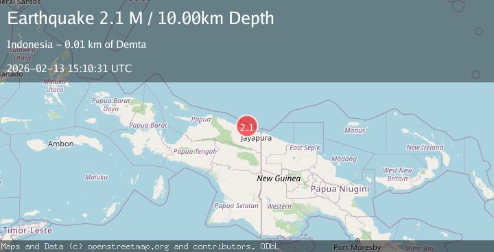
A 2.1 magnitude earthquake struck on Near North Coast of West Papua, at Fri, 13 Feb 2026 15:10:31 GMT. Depth: 10km. Reviewed by BMKG seismologists, this minor quake occurred at a magnitude type of M.
Magnitude
2.1
M
Source
BMKG
Intensity
-
Agency Reports
1 Sources| Source | Magnitude | Depth | Time |
|---|---|---|---|
| BMKGPrimary | 2.1 | 10 km | 5 days ago |
Earthquake Details
ManualEvent IDbmg2026dbsr
Tsunami PotentialNo
Magnitude TypeM
Nearest Places
- Tarfia7.1 km
- Tanjung Kamadara9.3 km
- Tanjung Korongwan10.2 km
- Teluk Matterer10.6 km
- Pulau Besar11.4 km
Comments
Join the discussion about this event.
Latest Earthquakes
0.7Mag
Washington
Time34 minutes ago
Depth0.00 km
SourceVYT (Automatic)
2.8Mag
Antofagasta, Chile
Time38 minutes ago
Depth102.66 km
SourceVYT (Automatic)
2.5Mag
British Columbia, Canada
Time38 minutes ago
Depth0.00 km
SourceVYT (Automatic)
1.6Mag
Central Alaska
Time39 minutes ago
Depth405.15 km
SourceVYT (Automatic)
3.4Mag
San Juan, Argentina
Time45 minutes ago
Depth10.00 km
SourceVYT (Automatic)
Nearby Earthquakes
2.2Mag
Near North Coast of West Papua
Time1 week ago
Depth10.00 km
SourceBMKG (Automatic)
3.3Mag
Near North Coast of West Papua
Time1 week ago
Depth10.00 km
SourceBMKG (Automatic)
2.8Mag
Near North Coast of West Papua
Time1 week ago
Depth10.00 km
SourceBMKG
3.0Mag
NEAR N COAST OF PAPUA, INDONESIA
Time4 years ago
Depth10.00 km
SourceDJA (Automatic)
3.0Mag
Near North Coast of West Papua
Time5 days ago
Depth10.00 km
SourceBMKG