Earthquake Timor Region
Fri, 13 Feb 2026 16:59:58 GMT
Time5 days ago
Location
-9.1066, 123.9596
Depth
28.2 KM
Event Summary
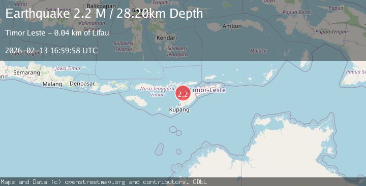
A 2.2 magnitude earthquake struck on Timor Region, at Fri, 13 Feb 2026 16:59:58 GMT. Depth: 28.195581km. Reviewed by BMKG seismologists, this minor quake occurred at a magnitude type of M.
Magnitude
2.2
M
Source
BMKG
Intensity
-
Agency Reports
1 Sources| Source | Magnitude | Depth | Time |
|---|---|---|---|
| BMKGPrimary | 2.2 | 28 km | 5 days ago |
Earthquake Details
ManualEvent IDbmg2026dbwh
Tsunami PotentialNo
Magnitude TypeM
Nearest Places
- Pulau Batek18.0 km
- Tanjung Temekuna26.5 km
- Point Kolamsina27.2 km
- Tanjung Oemna27.2 km
- Tanjung Nasikonis27.2 km
Comments
Join the discussion about this event.
Latest Earthquakes
2.7Mag
Near North Coast of West Papua
Time9 hours ago
Depth45.06 km
SourceBMKG
1.2Mag
Central Alaska
Time9 hours ago
Depth0.85 km
SourceVYT (Automatic)
2.6Mag
West Papua Region, Indonesia
Time9 hours ago
Depth10.00 km
SourceBMKG
2.3Mag
WESTERN TURKEY
Time9 hours ago
Depth10.10 km
SourceKOERI (Automatic)
2.6Mag
Antofagasta, Chile
Time9 hours ago
Depth0.00 km
SourceVYT (Automatic)
Nearby Earthquakes
2.5Mag
TIMOR REGION, INDONESIA
Time1 month ago
Depth56.00 km
SourceBMKG (Automatic)
2.4Mag
Timor Region
Time2 weeks ago
Depth73.87 km
SourceBMKG (Automatic)
3.0Mag
Timor region, Indonesia
Time2 days ago
Depth120.97 km
SourceVYT (Automatic)
3.0Mag
TIMOR REGION, INDONESIA
Time2 years ago
Depth38.00 km
SourceBMKG (Automatic)
4.0Mag
TIMOR REGION, INDONESIA
Time4 years ago
Depth61.00 km
SourceDJA (Automatic)