Earthquake North of Halmahera, Indonesia
Fri, 13 Feb 2026 17:39:08 GMT
Time4 days ago
Location
4.4010, 128.4006
Depth
10.0 KM
Event Summary
A 5.0 magnitude earthquake struck on North of Halmahera, Indonesia, at Fri, 13 Feb 2026 17:39:08 GMT. Depth: 10km. Reviewed by BMKG seismologists, this moderate quake occurred at a magnitude type of M.
Magnitude
5.0
M
Source
BMKG
Intensity
-
Agency Reports
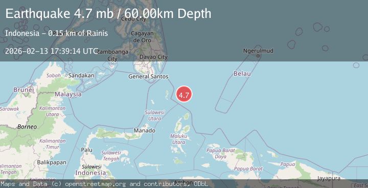
6 Sources| Source | Magnitude | Depth | Time |
|---|---|---|---|
| BMKGPrimary | 4.9 | 10 km | 4 days ago |
| VYT | 4.5 | 10 km | 4 days ago |
| PIVS | 5.0 | 113 km | 4 days ago |
| NEIC | 4.7 | 62 km | 4 days ago |
| USGS | 4.7 | 62 km | 4 days ago |
| EMSC | 4.7 | 60 km | 4 days ago |
Earthquake Details
ManualEvent IDbmg2026dbxo
Tsunami PotentialNo
Magnitude TypeM
Nearest Places
- Snellius Ridge62.9 km
- Talaud Trough117.9 km
- Pulau Kakorotan139.8 km
- Desa Kakorotan139.8 km
- Pulau Intata140.3 km
Comments
Join the discussion about this event.
Latest Earthquakes
1.6Mag
Kenai Peninsula, Alaska
Time3 hours ago
Depth42.60 km
SourceVYT (Automatic)
2.4Mag
Finland
Time3 hours ago
Depth301.88 km
SourceVYT (Automatic)
1.2Mag
Alaska Peninsula
Time3 hours ago
Depth0.12 km
SourceVYT (Automatic)
4.1Mag
NEAR COAST OF NORTHERN PERU
Time3 hours ago
Depth35.00 km
SourceLIM (Automatic)
3.1Mag
DODECANESE IS.-TURKEY BORDER REG
Time3 hours ago
Depth4.10 km
SourceKOERI (Automatic)
Nearby Earthquakes
4.4Mag
North of Halmahera, Indonesia
Time2 days ago
Depth10.00 km
SourceBMKG
5.7Mag
north of Halmahera, Indonesia
Time5 days ago
Depth10.00 km
SourceVYT (Automatic)
5.1Mag
north of Halmahera, Indonesia
Time4 days ago
Depth10.00 km
SourceVYT (Automatic)
4.0Mag
North of Halmahera, Indonesia
Time4 days ago
Depth13.92 km
SourceBMKG
3.9Mag
North of Halmahera, Indonesia
Time5 days ago
Depth10.00 km
SourceBMKG