Earthquake North of Halmahera, Indonesia
Sat, 14 Feb 2026 16:31:30 GMT
Time4 days ago
Location
4.4216, 128.4723
Depth
13.9 KM
Event Summary
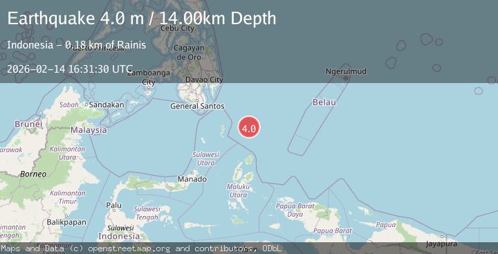
A 4.0 magnitude earthquake struck on North of Halmahera, Indonesia, at Sat, 14 Feb 2026 16:31:30 GMT. Depth: 13.922647km. Reviewed by BMKG seismologists, this light quake occurred at a magnitude type of M.
Magnitude
4.0
M
Source
BMKG
Intensity
-
Agency Reports
1 Sources| Source | Magnitude | Depth | Time |
|---|---|---|---|
| BMKGPrimary | 4.0 | 14 km | 4 days ago |
Earthquake Details
ManualEvent IDbmg2026ddqv
Tsunami PotentialNo
Magnitude TypeM
Nearest Places
- Snellius Ridge70.3 km
- Talaud Trough126.1 km
- Pulau Kakorotan147.3 km
- Desa Kakorotan147.3 km
- Pulau Intata147.7 km
Comments
Join the discussion about this event.
Latest Earthquakes
2.8Mag
Antofagasta, Chile
Time6 minutes ago
Depth0.00 km
SourceVYT (Automatic)
3.3Mag
Near North Coast of West Papua
Time7 minutes ago
Depth10.00 km
SourceBMKG
2.5Mag
off the coast of Tarapaca, Chile
Time8 minutes ago
Depth0.00 km
SourceVYT (Automatic)
2.6Mag
Sunda Strait, Indonesia
Time9 minutes ago
Depth8.74 km
SourceBMKG
2.8Mag
Ceram Sea
Time10 minutes ago
Depth5.46 km
SourceBMKG
Nearby Earthquakes
4.0Mag
NORTH OF HALMAHERA, INDONESIA
Time9 months ago
Depth50.00 km
SourceBMKG (Automatic)
5.0Mag
North of Halmahera, Indonesia
Time5 days ago
Depth10.00 km
SourceBMKG
4.4Mag
North of Halmahera, Indonesia
Time2 days ago
Depth10.00 km
SourceBMKG
4.3Mag
North of Halmahera, Indonesia
Time1 day ago
Depth59.15 km
SourceBMKG
5.1Mag
north of Halmahera, Indonesia
Time4 days ago
Depth10.00 km
SourceVYT (Automatic)