Earthquake North of Halmahera, Indonesia
Mon, 16 Feb 2026 04:01:44 GMT
Time2 days ago
Location
4.4289, 128.3946
Depth
10.0 KM
Event Summary
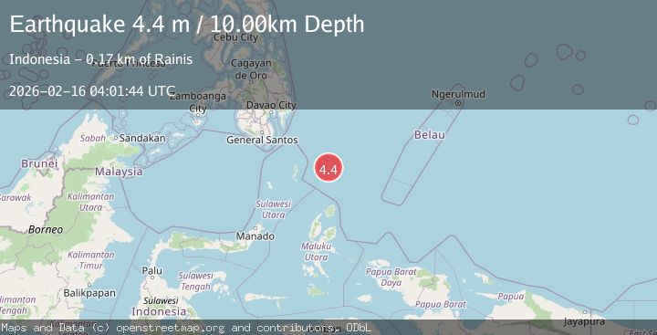
A 4.4 magnitude earthquake struck on North of Halmahera, Indonesia, at Mon, 16 Feb 2026 04:01:44 GMT. Depth: 10km. Reviewed by BMKG seismologists, this light quake occurred at a magnitude type of M.
Magnitude
4.4
M
Source
BMKG
Intensity
-
Agency Reports
1 Sources| Source | Magnitude | Depth | Time |
|---|---|---|---|
| BMKGPrimary | 4.4 | 10 km | 2 days ago |
Earthquake Details
ManualEvent IDbmg2026dgjd
Tsunami PotentialNo
Magnitude TypeM
Nearest Places
- Snellius Ridge64.7 km
- Talaud Trough118.5 km
- Pulau Kakorotan138.7 km
- Desa Kakorotan138.7 km
- Pulau Intata139.1 km
Comments
Join the discussion about this event.
Latest Earthquakes
1.7Mag
Washington
Time21 hours ago
Depth27.59 km
SourceVYT (Automatic)
2.4Mag
Antofagasta, Chile
Time21 hours ago
Depth133.18 km
SourceVYT (Automatic)
2.4Mag
Central Alaska
Time21 hours ago
Depth0.00 km
SourceVYT (Automatic)
2.5Mag
Java, Indonesia
Time21 hours ago
Depth14.39 km
SourceBMKG
1.5Mag
Alaska Peninsula
Time21 hours ago
Depth31.37 km
SourceVYT (Automatic)
Nearby Earthquakes
5.0Mag
North of Halmahera, Indonesia
Time5 days ago
Depth10.00 km
SourceBMKG
3.1Mag
north of Halmahera, Indonesia
Time3 days ago
Depth10.00 km
SourceVYT (Automatic)
5.7Mag
north of Halmahera, Indonesia
Time5 days ago
Depth10.00 km
SourceVYT (Automatic)
4.0Mag
North of Halmahera, Indonesia
Time4 days ago
Depth13.92 km
SourceBMKG
5.1Mag
north of Halmahera, Indonesia
Time4 days ago
Depth10.00 km
SourceVYT (Automatic)