Earthquake north of Halmahera, Indonesia
Fri, 13 Feb 2026 14:57:00 GMT
Time4 days ago
Location
4.3527, 128.3829
Depth
10.0 KM
Event Summary
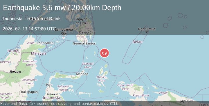
A 5.7 magnitude earthquake struck on north of Halmahera, Indonesia, at Fri, 13 Feb 2026 14:57:00 GMT. Depth: 10km. Reviewed by VYT seismologists, this moderate quake occurred at a magnitude type of earthquake.
Magnitude
5.7
earthquake
Source
VYT
Intensity
-
Agency Reports
6 Sources| Source | Magnitude | Depth | Time |
|---|---|---|---|
| VYTPrimary | 5.7 | 10 km | 4 days ago |
| BMKG | 5.7 | 34 km | 4 days ago |
| EMSC | 5.6 | 53 km | 4 days ago |
| NEIC | 5.6 | 56 km | 4 days ago |
| USGS | 5.6 | 56 km | 4 days ago |
| GFZ | 5.6 | 20 km | 4 days ago |
Earthquake Details
AutomaticEvent IDvyt_12bosf9gvxpt6
Tsunami PotentialNo
Magnitude Typeearthquake
Nearest Places
- Snellius Ridge57.8 km
- Talaud Trough114.1 km
- Pulau Kakorotan139.0 km
- Desa Kakorotan139.0 km
- Pulau Intata139.5 km
Comments
Join the discussion about this event.
Latest Earthquakes
1.0Mag
Southern Alaska
Time1 minute ago
Depth42.97 km
SourceVYT (Automatic)
1.1Mag
Washington
Time6 minutes ago
Depth9.64 km
SourceVYT (Automatic)
1.9Mag
32 km NW of Toyah, Texas
Time8 minutes ago
Depth4.09 km
SourceUSGS (Automatic)
1.7Mag
western Texas
Time11 minutes ago
Depth3.42 km
SourceVYT (Automatic)
3.8Mag
Seram, Indonesia
Time13 minutes ago
Depth0.00 km
SourceVYT (Automatic)
Nearby Earthquakes
5.1Mag
north of Halmahera, Indonesia
Time4 days ago
Depth10.00 km
SourceVYT (Automatic)
3.9Mag
North of Halmahera, Indonesia
Time4 days ago
Depth10.00 km
SourceBMKG
5.0Mag
North of Halmahera, Indonesia
Time4 days ago
Depth10.00 km
SourceBMKG
3.2Mag
north of Halmahera, Indonesia
Time2 days ago
Depth10.00 km
SourceVYT (Automatic)
4.4Mag
North of Halmahera, Indonesia
Time4 days ago
Depth10.00 km
SourceBMKG