Earthquake North of Halmahera, Indonesia
Fri, 13 Feb 2026 22:59:42 GMT
Time4 days ago
Location
4.2811, 128.3644
Depth
91.7 KM
Event Summary
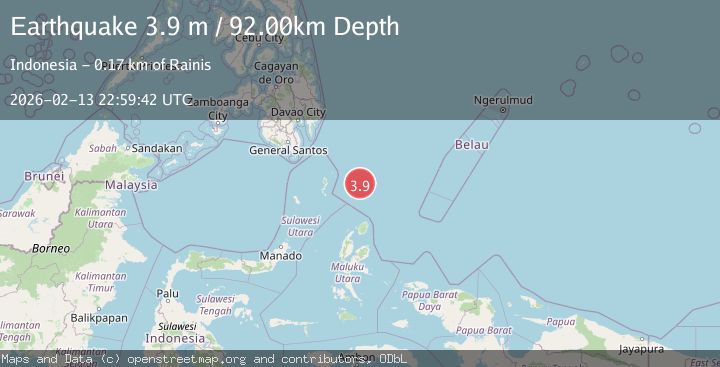
A 3.9 magnitude earthquake struck on North of Halmahera, Indonesia, at Fri, 13 Feb 2026 22:59:42 GMT. Depth: 91.68354km. Reviewed by BMKG seismologists, this minor quake occurred at a magnitude type of M.
Magnitude
3.9
M
Source
BMKG
Intensity
-
Agency Reports
1 Sources| Source | Magnitude | Depth | Time |
|---|---|---|---|
| BMKGPrimary | 3.9 | 92 km | 4 days ago |
Earthquake Details
ManualEvent IDbmg2026dcid
Tsunami PotentialNo
Magnitude TypeM
Nearest Places
- Snellius Ridge51.1 km
- Talaud Trough109.7 km
- Pulau Kakorotan139.0 km
- Desa Kakorotan139.0 km
- Pulau Intata139.6 km
Comments
Join the discussion about this event.
Latest Earthquakes
1.7Mag
western Texas
Time3 minutes ago
Depth3.42 km
SourceVYT (Automatic)
3.5Mag
Seram, Indonesia
Time5 minutes ago
Depth0.00 km
SourceVYT (Automatic)
1.6Mag
54 km WNW of Toyah, Texas
Time11 minutes ago
Depth0.00 km
SourceUSGS (Automatic)
2.2Mag
West Papua Region, Indonesia
Time12 minutes ago
Depth26.69 km
SourceBMKG
1.2Mag
WESTERN TURKEY
Time13 minutes ago
Depth7.00 km
SourceAFAD (Automatic)
Nearby Earthquakes
4.4Mag
North of Halmahera, Indonesia
Time4 days ago
Depth10.00 km
SourceBMKG
4.5Mag
North of Halmahera, Indonesia
Time4 days ago
Depth10.00 km
SourceBMKG
3.9Mag
North of Halmahera, Indonesia
Time4 days ago
Depth10.00 km
SourceBMKG
3.2Mag
north of Halmahera, Indonesia
Time2 days ago
Depth10.00 km
SourceVYT (Automatic)
5.7Mag
north of Halmahera, Indonesia
Time4 days ago
Depth10.00 km
SourceVYT (Automatic)