Earthquake North of Halmahera, Indonesia
Fri, 13 Feb 2026 21:17:02 GMT
Time4 days ago
Location
4.2851, 128.4031
Depth
10.0 KM
Event Summary
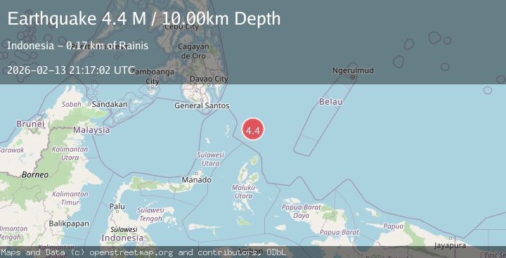
A 4.4 magnitude earthquake struck on North of Halmahera, Indonesia, at Fri, 13 Feb 2026 21:17:02 GMT. Depth: 10km. Reviewed by BMKG seismologists, this light quake occurred at a magnitude type of M.
Magnitude
4.4
M
Source
BMKG
Intensity
-
Agency Reports
1 Sources| Source | Magnitude | Depth | Time |
|---|---|---|---|
| BMKGPrimary | 4.4 | 10 km | 4 days ago |
Earthquake Details
ManualEvent IDbmg2026dceu
Tsunami PotentialNo
Magnitude TypeM
Nearest Places
- Snellius Ridge54.8 km
- Talaud Trough113.9 km
- Pulau Kakorotan143.0 km
- Desa Kakorotan143.0 km
- Pulau Intata143.6 km
Comments
Join the discussion about this event.
Latest Earthquakes
2.8Mag
Sunda Strait, Indonesia
Time5 minutes ago
Depth3.61 km
SourceBMKG
3.6Mag
south of Alaska
Time6 minutes ago
Depth10.00 km
SourceVYT (Automatic)
1.2Mag
Central Alaska
Time8 minutes ago
Depth68.97 km
SourceVYT (Automatic)
1.2Mag
Washington
Time9 minutes ago
Depth0.00 km
SourceVYT (Automatic)
0.8Mag
10 km WNW of The Geysers, CA
Time16 minutes ago
Depth1.96 km
SourceUSGS (Automatic)
Nearby Earthquakes
3.9Mag
North of Halmahera, Indonesia
Time4 days ago
Depth91.68 km
SourceBMKG
5.1Mag
north of Halmahera, Indonesia
Time4 days ago
Depth10.00 km
SourceVYT (Automatic)
3.9Mag
North of Halmahera, Indonesia
Time4 days ago
Depth10.00 km
SourceBMKG
4.2Mag
North of Halmahera, Indonesia
Time5 days ago
Depth67.37 km
SourceBMKG
5.7Mag
north of Halmahera, Indonesia
Time5 days ago
Depth10.00 km
SourceVYT (Automatic)