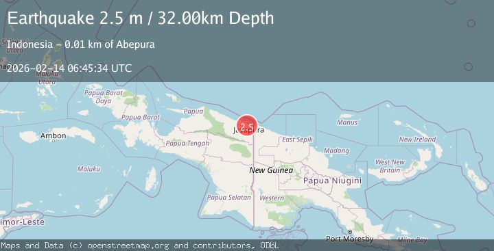
Earthquake Near North Coast of West Papua
Sat, 14 Feb 2026 06:45:35 GMT
Time4 days ago
Location
-2.7171, 140.6103
Depth
25.7 KM
Event Summary
A 2.5 magnitude earthquake struck on Near North Coast of West Papua, at Sat, 14 Feb 2026 06:45:35 GMT. Depth: 25.680899km. Reviewed by BMKG seismologists, this minor quake occurred at a magnitude type of M.
Magnitude
2.5
M
Source
BMKG
Intensity
-
Agency Reports
1 Sources| Source | Magnitude | Depth | Time |
|---|---|---|---|
| BMKGPrimary | 2.5 | 32 km | 4 days ago |
Earthquake Details
ManualEvent IDbmg2026dcxn
Tsunami PotentialNo
Magnitude TypeM
Nearest Places
- Kampung Alang-Alang Raya3.3 km
- Pue3.5 km
- Kampung Yokiwa3.7 km
- Kampung Puai4.4 km
- Kelurahan Asano6.8 km
Comments
Join the discussion about this event.
Latest Earthquakes
1.7Mag
2 km NW of Enterprise, Nevada
Time6 minutes ago
Depth15.89 km
SourceUSGS (Automatic)
1.3Mag
Southeastern Alaska
Time7 minutes ago
Depth7.20 km
SourceVYT (Automatic)
0.8Mag
39 km NE of Amboy, Washington
Time9 minutes ago
Depth7.36 km
SourceUSGS (Automatic)
3.2Mag
ANDHRA PRADESH, INDIA
Time13 minutes ago
Depth4.70 km
SourceNDI (Automatic)
0.7Mag
10 km WNW of The Geysers, CA
Time15 minutes ago
Depth2.56 km
SourceUSGS (Automatic)
Nearby Earthquakes
3.6Mag
NEAR N COAST OF PAPUA, INDONESIA
Time1 month ago
Depth10.00 km
SourceBMKG (Automatic)
2.3Mag
Near North Coast of West Papua
Time3 weeks ago
Depth10.00 km
SourceBMKG (Automatic)
3.2Mag
NEAR N COAST OF PAPUA, INDONESIA
Time1 month ago
Depth12.00 km
SourceBMKG (Automatic)
3.0Mag
NEAR N COAST OF PAPUA, INDONESIA
Time8 years ago
Depth10.00 km
SourceDJA (Automatic)
2.3Mag
Near North Coast of West Papua
Time5 days ago
Depth10.00 km
SourceBMKG