Earthquake Near North Coast of West Papua
Fri, 13 Feb 2026 19:08:37 GMT
Time4 days ago
Location
-2.6275, 140.6891
Depth
10.0 KM
Event Summary
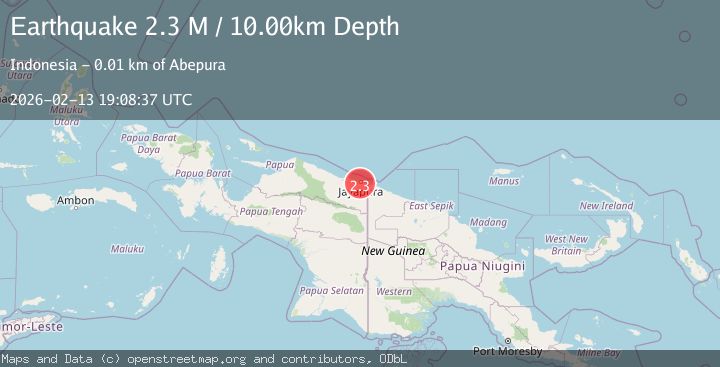
A 2.3 magnitude earthquake struck on Near North Coast of West Papua, at Fri, 13 Feb 2026 19:08:37 GMT. Depth: 10km. Reviewed by BMKG seismologists, this minor quake occurred at a magnitude type of M.
Magnitude
2.3
M
Source
BMKG
Intensity
-
Agency Reports
1 Sources| Source | Magnitude | Depth | Time |
|---|---|---|---|
| BMKGPrimary | 2.3 | 10 km | 4 days ago |
Earthquake Details
ManualEvent IDbmg2026dcan
Tsunami PotentialNo
Magnitude TypeM
Nearest Places
- Tobadi1.7 km
- Teluk Jautefa2.0 km
- Kelurahan Way Mhorock2.5 km
- Universitas Cendrawas2.6 km
- Pim3.3 km
Comments
Join the discussion about this event.
Latest Earthquakes
2.8Mag
Sunda Strait, Indonesia
Time5 minutes ago
Depth3.61 km
SourceBMKG
3.6Mag
south of Alaska
Time6 minutes ago
Depth10.00 km
SourceVYT (Automatic)
1.2Mag
Central Alaska
Time8 minutes ago
Depth68.97 km
SourceVYT (Automatic)
1.2Mag
Washington
Time10 minutes ago
Depth0.00 km
SourceVYT (Automatic)
0.8Mag
10 km WNW of The Geysers, CA
Time16 minutes ago
Depth1.96 km
SourceUSGS (Automatic)
Nearby Earthquakes
3.2Mag
NEAR N COAST OF PAPUA, INDONESIA
Time1 month ago
Depth12.00 km
SourceBMKG (Automatic)
4.7Mag
Near North Coast of West Papua
Time3 days ago
Depth5.82 km
SourceBMKG
2.2Mag
Near North Coast of West Papua
Time3 weeks ago
Depth30.05 km
SourceBMKG (Automatic)
5.0Mag
NEAR N COAST OF PAPUA, INDONESIA
Time3 years ago
Depth10.00 km
SourceEMSC (Automatic)
3.0Mag
NEAR N COAST OF PAPUA, INDONESIA
Time2 years ago
Depth10.00 km
SourceBMKG (Automatic)