Earthquake NEAR N COAST OF PAPUA, INDONESIA
Wed, 07 Jan 2026 06:20:25 GMT
Time1 month ago
Location
-2.6700, 140.6700
Depth
12.0 KM
Event Summary
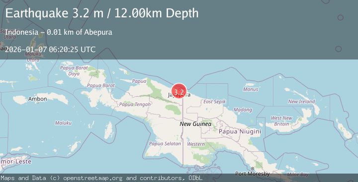
A 3.2 magnitude earthquake struck on NEAR N COAST OF PAPUA, INDONESIA, at Wed, 07 Jan 2026 06:20:25 GMT. Depth: 12km. Reviewed by BMKG seismologists, this minor quake occurred at a magnitude type of m.
Magnitude
3.2
m
Source
BMKG
Intensity
-
Agency Reports
1 Sources| Source | Magnitude | Depth | Time |
|---|---|---|---|
| BMKGPrimary | 3.2 | 12 km | 1 month ago |
Earthquake Details
AutomaticEvent IDemsc_BMKG_20260107_0000100
Tsunami PotentialNo
Magnitude Typem
Nearest Places
- Kelurahan Asano1.7 km
- Kelurahan Awiyo2.3 km
- Distrik Abepura3.2 km
- Kelurahan Yobe3.6 km
- Kelurahan Abepantai3.6 km
Comments
Join the discussion about this event.
Latest Earthquakes
1.0Mag
Southeastern Alaska
Time1 minute ago
Depth0.00 km
SourceVYT (Automatic)
3.5Mag
COOK STRAIT, NEW ZEALAND
Time2 minutes ago
Depth75.30 km
SourceGNS (Automatic)
2.4Mag
Seram, Indonesia
Time4 minutes ago
Depth18.42 km
SourceBMKG
2.6Mag
West Papua Region, Indonesia
Time7 minutes ago
Depth17.35 km
SourceBMKG
2.8Mag
Antofagasta, Chile
Time10 minutes ago
Depth0.00 km
SourceVYT (Automatic)
Nearby Earthquakes
2.3Mag
Near North Coast of West Papua
Time5 days ago
Depth10.00 km
SourceBMKG
2.3Mag
Near North Coast of West Papua
Time3 weeks ago
Depth10.00 km
SourceBMKG (Automatic)
3.6Mag
NEAR N COAST OF PAPUA, INDONESIA
Time1 month ago
Depth10.00 km
SourceBMKG (Automatic)
2.5Mag
Near North Coast of West Papua
Time4 days ago
Depth25.68 km
SourceBMKG
4.7Mag
Near North Coast of West Papua
Time3 days ago
Depth5.82 km
SourceBMKG