Earthquake Sumba Region, Indonesia
Sat, 14 Feb 2026 20:43:01 GMT
Time4 days ago
Location
-9.1102, 119.3267
Depth
37.6 KM
Event Summary
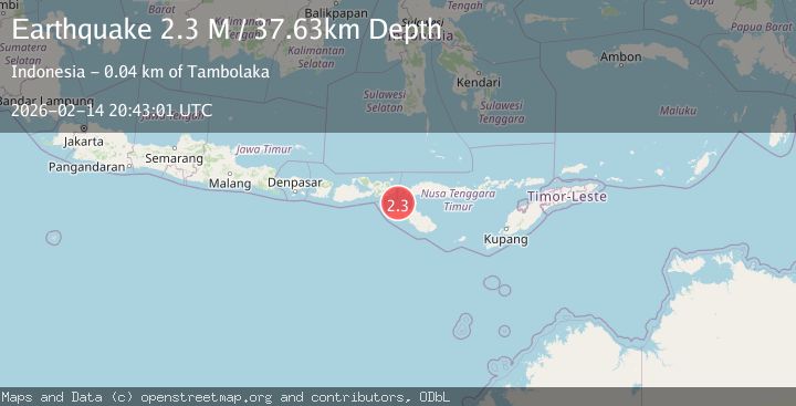
A 2.3 magnitude earthquake struck on Sumba Region, Indonesia, at Sat, 14 Feb 2026 20:43:01 GMT. Depth: 37.628666km. Reviewed by BMKG seismologists, this minor quake occurred at a magnitude type of M.
Magnitude
2.3
M
Source
BMKG
Intensity
-
Agency Reports
1 Sources| Source | Magnitude | Depth | Time |
|---|---|---|---|
| BMKGPrimary | 2.3 | 38 km | 4 days ago |
Earthquake Details
ManualEvent IDbmg2026ddzd
Tsunami PotentialNo
Magnitude TypeM
Nearest Places
- Selat Sumba14.9 km
- Nanga Amba26.7 km
- Tanjung Nangaamba26.8 km
- Luku Oro27.5 km
- Tanjung Oro28.0 km
Comments
Join the discussion about this event.
Latest Earthquakes
4.2Mag
Java, Indonesia
Time2 hours ago
Depth95.46 km
SourceVYT (Automatic)
1.6Mag
Sumbawa region, Indonesia
Time2 hours ago
Depth11.47 km
SourceVYT (Automatic)
3.0Mag
southern Sumatra, Indonesia
Time2 hours ago
Depth37.96 km
SourceVYT (Automatic)
3.1Mag
Near North Coast of West Papua
Time2 hours ago
Depth10.00 km
SourceBMKG
3.1Mag
Sweden
Time2 hours ago
Depth0.00 km
SourceVYT (Automatic)
Nearby Earthquakes
3.0Mag
SUMBA REGION, INDONESIA
Time3 months ago
Depth51.00 km
SourceBMKG (Automatic)
2.3Mag
Sumba Region, Indonesia
Time1 week ago
Depth38.78 km
SourceBMKG (Automatic)
4.0Mag
SUMBA REGION, INDONESIA
Time9 months ago
Depth51.00 km
SourceBMKG (Automatic)
3.2Mag
Sumba Region, Indonesia
Time1 week ago
Depth2.39 km
SourceBMKG (Automatic)
3.0Mag
SUMBA REGION, INDONESIA
Time1 year ago
Depth17.00 km
SourceBMKG (Automatic)