Earthquake Sumba Region, Indonesia
Sun, 08 Feb 2026 23:32:15 GMT
Time4 hours ago
Location
-9.0347, 119.3744
Depth
2.4 KM
Event Summary
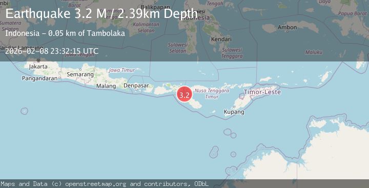
A 3.2 magnitude earthquake struck on Sumba Region, Indonesia, at Sun, 08 Feb 2026 23:32:15 GMT. Depth: 2.394909km. Reviewed by BMKG seismologists, this minor quake occurred at a magnitude type of M.
Magnitude
3.2
M
Source
BMKG
Intensity
-
Agency Reports
1 Sources| Source | Magnitude | Depth | Time |
|---|---|---|---|
| BMKGPrimary | 3.2 | 2 km | 4 hours ago |
Earthquake Details
AutomaticEvent IDbmg2026ctfs
Tsunami PotentialNo
Magnitude TypeM
Nearest Places
- Selat Sumba14.2 km
- Pulau Tala30.5 km
- Toro Langkoi33.0 km
- Pulau Langkoi33.0 km
- Nusa Duawaju33.2 km
Comments
Join the discussion about this event.
Latest Earthquakes
2.9Mag
Minahassa Peninsula, Sulawesi
Time4 hours ago
Depth104.92 km
SourceBMKG (Automatic)
2.2Mag
Sumbawa Region, Indonesia
Time4 hours ago
Depth83.24 km
SourceBMKG (Automatic)
2.3Mag
Northern Sumatra, Indonesia
Time4 hours ago
Depth4.40 km
SourceBMKG (Automatic)
4.1Mag
ANTOFAGASTA, CHILE
Time4 hours ago
Depth112.90 km
SourceCSN (Automatic)
3.1Mag
MENDOZA, ARGENTINA
Time4 hours ago
Depth10.00 km
SourceNSNA (Automatic)
Nearby Earthquakes
2.8Mag
Sumba Region, Indonesia
Time1 week ago
Depth81.65 km
SourceBMKG (Automatic)
2.3Mag
Sumba Region, Indonesia
Time1 day ago
Depth10.00 km
SourceBMKG (Automatic)
2.6Mag
Sumba Region, Indonesia
Time2 weeks ago
Depth51.36 km
SourceBMKG (Automatic)
2.4Mag
Sumba Region, Indonesia
Time1 week ago
Depth10.00 km
SourceBMKG (Automatic)
3.0Mag
Sumba Region, Indonesia
Time1 week ago
Depth29.13 km
SourceBMKG (Automatic)