Earthquake Minahassa Peninsula, Sulawesi
Mon, 16 Feb 2026 14:33:48 GMT
Time1 day ago
Location
-0.5992, 122.4259
Depth
8.0 KM
Event Summary
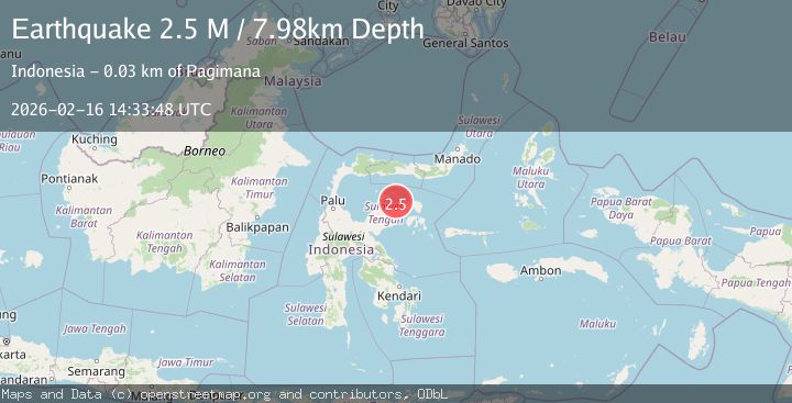
A 2.5 magnitude earthquake struck on Minahassa Peninsula, Sulawesi, at Mon, 16 Feb 2026 14:33:48 GMT. Depth: 7.980528km. Reviewed by BMKG seismologists, this minor quake occurred at a magnitude type of M.
Magnitude
2.5
M
Source
BMKG
Intensity
-
Agency Reports
1 Sources| Source | Magnitude | Depth | Time |
|---|---|---|---|
| BMKGPrimary | 2.5 | 8 km | 1 day ago |
Earthquake Details
ManualEvent IDbmg2026dhdz
Tsunami PotentialNo
Magnitude TypeM
Nearest Places
- Pulau Bango15.8 km
- Tanjung Popat15.9 km
- Teluk Bolobua16.3 km
- Balaigondi17.0 km
- Tanjung Batulompolompo17.2 km
Comments
Join the discussion about this event.
Latest Earthquakes
1.8Mag
Southern Alaska
Time13 hours ago
Depth20.02 km
SourceVYT (Automatic)
3.6Mag
DOMINICA REGION, LEEWARD ISLANDS
Time13 hours ago
Depth29.60 km
SourceTRN (Automatic)
1.8Mag
Southern Alaska
Time13 hours ago
Depth16.72 km
SourceVYT (Automatic)
4.3Mag
eastern New Guinea region, Papua New Guinea
Time13 hours ago
Depth81.79 km
SourceVYT (Automatic)
1.7Mag
Southern Alaska
Time13 hours ago
Depth69.70 km
SourceVYT (Automatic)
Nearby Earthquakes
3.0Mag
SULAWESI, INDONESIA
Time5 months ago
Depth10.00 km
SourceBMKG (Automatic)
5.9Mag
SULAWESI, INDONESIA
Time10 years ago
Depth40.00 km
SourceEMSC (Automatic)
2.0Mag
Minahassa Peninsula, Sulawesi
Time1 day ago
Depth7.87 km
SourceBMKG
5.3Mag
SULAWESI, INDONESIA
Time15 years ago
Depth15.00 km
SourceEMSC (Automatic)
3.0Mag
SULAWESI, INDONESIA
Time4 years ago
Depth10.00 km
SourceDJA (Automatic)