Earthquake Southern Alaska
Tue, 17 Feb 2026 23:00:57 GMT
Time10 hours ago
Location
61.4186, -147.8059
Depth
20.0 KM
Event Summary
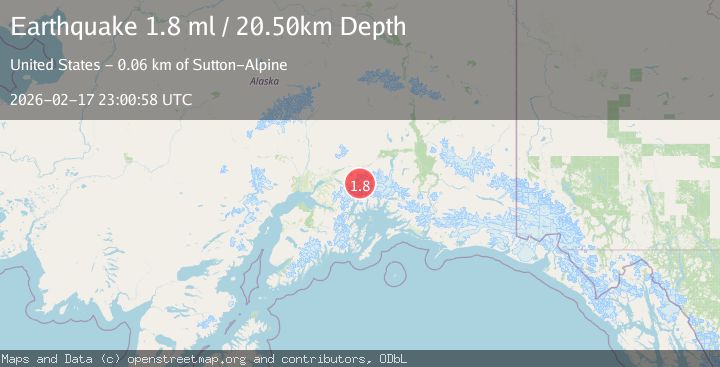
A 1.8 magnitude earthquake struck on Southern Alaska, at Tue, 17 Feb 2026 23:00:57 GMT. Depth: 20.01953125km. Reviewed by VYT seismologists, this minor quake occurred at a magnitude type of earthquake.
Magnitude
1.8
earthquake
Source
VYT
Intensity
-
Agency Reports
1 Sources| Source | Magnitude | Depth | Time |
|---|---|---|---|
| VYTPrimary | 1.8 | 20 km | 10 hours ago |
Earthquake Details
AutomaticEvent IDvyt_1glm6nwerzww1
Tsunami PotentialNo
Magnitude Typeearthquake
Nearest Places
- Mount Marcus Baker3.5 km
- Marcus Baker Glacier10.6 km
- Eliot Glacier11.4 km
- Radcliffe Glacier11.5 km
- Baltimore Glacier13.1 km
Comments
Join the discussion about this event.
Latest Earthquakes
3.6Mag
DOMINICA REGION, LEEWARD ISLANDS
Time10 hours ago
Depth29.60 km
SourceTRN (Automatic)
1.8Mag
Southern Alaska
Time10 hours ago
Depth16.72 km
SourceVYT (Automatic)
4.3Mag
eastern New Guinea region, Papua New Guinea
Time10 hours ago
Depth81.79 km
SourceVYT (Automatic)
1.7Mag
Southern Alaska
Time10 hours ago
Depth69.70 km
SourceVYT (Automatic)
1.1Mag
41 km NW of Toyah, Texas
Time10 hours ago
Depth3.44 km
SourceUSGS (Automatic)
Nearby Earthquakes
1.6Mag
48 km S of Glacier View, Alaska
Time2 weeks ago
Depth20.60 km
SourceUSGS (Automatic)
3.0Mag
SOUTHERN ALASKA
Time9 years ago
Depth17.00 km
SourceNEIR (Automatic)
1.4Mag
50 km S of Glacier View, Alaska
Time1 week ago
Depth16.80 km
SourceUSGS (Automatic)
1.3Mag
Southern Alaska
Time2 days ago
Depth0.00 km
SourceVYT (Automatic)
1.3Mag
52 km S of Glacier View, Alaska
Time3 weeks ago
Depth5.00 km
SourceUSGS (Automatic)