Earthquake Near North Coast of West Papua
Mon, 16 Feb 2026 19:44:57 GMT
Time6 days ago
Location
-2.7244, 140.1515
Depth
86.9 KM
Event Summary
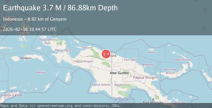
A 3.7 magnitude earthquake struck on Near North Coast of West Papua, at Mon, 16 Feb 2026 19:44:57 GMT. Depth: 86.884521km. Reviewed by BMKG seismologists, this minor quake occurred at a magnitude type of M.
Magnitude
3.7
M
Source
BMKG
Intensity
-
Agency Reports
1 Sources| Source | Magnitude | Depth | Time |
|---|---|---|---|
| BMKGPrimary | 3.7 | 87 km | 6 days ago |
Earthquake Details
ManualEvent IDbmg2026dhog
Tsunami PotentialNo
Magnitude TypeM
Nearest Places
- 4.1 km
- 5.5 km
- 5.9 km
- 6.1 km
- 6.7 km
Comments
Join the discussion about this event.
Latest Earthquakes
1.9Mag
Central Alaska
Time5 minutes ago
Depth13.43 km
SourceVYT (Automatic)
4.0Mag
South of Timor, Indonesia
Time6 minutes ago
Depth57.89 km
SourceBMKG
4.1Mag
south of Timor
Time6 minutes ago
Depth211.18 km
SourceVYT (Automatic)
2.9Mag
Tarapaca, Chile
Time8 minutes ago
Depth14.16 km
SourceVYT (Automatic)
3.3Mag
Antofagasta, Chile
Time11 minutes ago
Depth500.12 km
SourceVYT (Automatic)
Nearby Earthquakes
3.0Mag
NEAR N COAST OF PAPUA, INDONESIA
Time3 months ago
Depth26.00 km
SourceBMKG (Automatic)
2.6Mag
NEAR N COAST OF PAPUA, INDONESIA
Time1 month ago
Depth36.00 km
SourceBMKG (Automatic)
2.6Mag
Near North Coast of West Papua
Time1 week ago
Depth42.25 km
SourceBMKG
2.8Mag
Near North Coast of West Papua
Time1 week ago
Depth10.00 km
SourceBMKG
2.4Mag
Near North Coast of West Papua
Time3 hours ago
Depth11.54 km
SourceBMKG