Earthquake North of Halmahera, Indonesia
Tue, 17 Feb 2026 02:23:06 GMT
Time1 day ago
Location
4.3621, 128.5274
Depth
59.2 KM
Event Summary
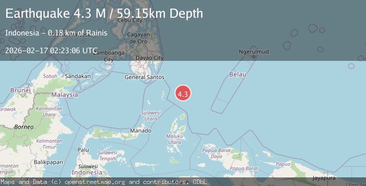
A 4.3 magnitude earthquake struck on North of Halmahera, Indonesia, at Tue, 17 Feb 2026 02:23:06 GMT. Depth: 59.150105km. Reviewed by BMKG seismologists, this light quake occurred at a magnitude type of M.
Magnitude
4.3
M
Source
BMKG
Intensity
-
Agency Reports
1 Sources| Source | Magnitude | Depth | Time |
|---|---|---|---|
| BMKGPrimary | 4.3 | 59 km | 1 day ago |
Earthquake Details
ManualEvent IDbmg2026dibj
Tsunami PotentialNo
Magnitude TypeM
Nearest Places
- Snellius Ridge71.0 km
- Talaud Trough129.6 km
- Pulau Kakorotan154.5 km
- Desa Kakorotan154.5 km
- Pulau Intata154.9 km
Comments
Join the discussion about this event.
Latest Earthquakes
1.7Mag
2 km NW of Enterprise, Nevada
Time6 minutes ago
Depth15.89 km
SourceUSGS (Automatic)
1.3Mag
Southeastern Alaska
Time7 minutes ago
Depth7.20 km
SourceVYT (Automatic)
0.8Mag
39 km NE of Amboy, Washington
Time9 minutes ago
Depth7.36 km
SourceUSGS (Automatic)
3.2Mag
ANDHRA PRADESH, INDIA
Time13 minutes ago
Depth4.70 km
SourceNDI (Automatic)
0.7Mag
10 km WNW of The Geysers, CA
Time15 minutes ago
Depth2.56 km
SourceUSGS (Automatic)
Nearby Earthquakes
4.0Mag
NORTH OF HALMAHERA, INDONESIA
Time9 months ago
Depth50.00 km
SourceBMKG (Automatic)
4.0Mag
North of Halmahera, Indonesia
Time4 days ago
Depth13.92 km
SourceBMKG
5.1Mag
north of Halmahera, Indonesia
Time5 days ago
Depth10.00 km
SourceVYT (Automatic)
5.0Mag
North of Halmahera, Indonesia
Time5 days ago
Depth10.00 km
SourceBMKG
5.7Mag
north of Halmahera, Indonesia
Time5 days ago
Depth10.00 km
SourceVYT (Automatic)