Earthquake West Papua Region, Indonesia
Tue, 17 Feb 2026 12:25:29 GMT
Time22 hours ago
Location
-0.6709, 132.7134
Depth
78.3 KM
Event Summary
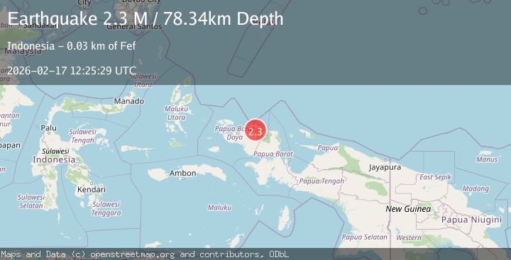
A 2.3 magnitude earthquake struck on West Papua Region, Indonesia, at Tue, 17 Feb 2026 12:25:29 GMT. Depth: 78.34063km. Reviewed by BMKG seismologists, this minor quake occurred at a magnitude type of M.
Magnitude
2.3
M
Source
BMKG
Intensity
-
Agency Reports
1 Sources| Source | Magnitude | Depth | Time |
|---|---|---|---|
| BMKGPrimary | 2.3 | 78 km | 22 hours ago |
Earthquake Details
ManualEvent IDbmg2026divg
Tsunami PotentialNo
Magnitude TypeM
Nearest Places
- Kampung Dombron5.7 km
- Kampung Srurem8.4 km
- Gunung Wamsue9.6 km
- Sejak9.7 km
- Kampung Tinggouw10.0 km
Comments
Join the discussion about this event.
Latest Earthquakes
2.9Mag
Potosi, Bolivia
Time22 hours ago
Depth176.64 km
SourceVYT (Automatic)
3.5Mag
LA RIOJA, ARGENTINA
Time22 hours ago
Depth127.00 km
SourceNSNA (Automatic)
3.1Mag
Potosi, Bolivia
Time22 hours ago
Depth286.62 km
SourceVYT (Automatic)
3.0Mag
Southern Molucca Sea
Time22 hours ago
Depth10.00 km
SourceBMKG
3.2Mag
SOUTH ISLAND OF NEW ZEALAND
Time22 hours ago
Depth5.00 km
SourceGNS (Automatic)
Nearby Earthquakes
5.1Mag
NEAR N COAST OF PAPUA, INDONESIA
Time17 years ago
Depth26.00 km
SourceGFZ (Automatic)
5.0Mag
NEAR N COAST OF PAPUA, INDONESIA
Time17 years ago
Depth40.00 km
SourceEMSC (Automatic)
2.1Mag
West Papua Region, Indonesia
Time3 weeks ago
Depth10.00 km
SourceBMKG (Automatic)
2.3Mag
West Papua Region, Indonesia
Time5 days ago
Depth10.00 km
SourceBMKG
5.4Mag
NEAR N COAST OF PAPUA, INDONESIA
Time17 years ago
Depth54.00 km
SourceEMSC (Automatic)