Earthquake NEAR N COAST OF PAPUA, INDONESIA
Sun, 01 Feb 2026 19:31:14 GMT
Time2 weeks ago
Location
-2.2200, 139.7100
Depth
25.0 KM
Event Summary
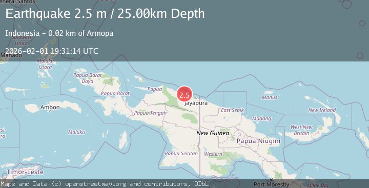
A 2.5 magnitude earthquake struck on NEAR N COAST OF PAPUA, INDONESIA, at Sun, 01 Feb 2026 19:31:14 GMT. Depth: 25km. Reviewed by BMKG seismologists, this minor quake occurred at a magnitude type of m.
Magnitude
2.5
m
Source
BMKG
Intensity
-
Agency Reports
1 Sources| Source | Magnitude | Depth | Time |
|---|---|---|---|
| BMKGPrimary | 2.5 | 25 km | 2 weeks ago |
Earthquake Details
AutomaticEvent IDemsc_BMKG_20260201_0000341
Tsunami PotentialNo
Magnitude Typem
Nearest Places
- Tanjung Wiruwai8.8 km
- Tanjung Wiruwai10.9 km
- Sungai Wiru11.4 km
- Pulau Kaitjebo13.0 km
- Waiseron13.4 km
Comments
Join the discussion about this event.
Latest Earthquakes
2.2Mag
Valparaiso, Chile
Time2 minutes ago
Depth22.83 km
SourceVYT (Automatic)
4.5Mag
Central Alaska
Time3 minutes ago
Depth7.81 km
SourceVYT (Automatic)
1.9Mag
1 km SSW of Pāhala, Hawaii
Time7 minutes ago
Depth28.47 km
SourceUSGS (Automatic)
1.5Mag
5 km NW of The Geysers, CA
Time8 minutes ago
Depth2.47 km
SourceUSGS (Automatic)
0.3Mag
10 km WNW of The Geysers, CA
Time10 minutes ago
Depth2.50 km
SourceUSGS (Automatic)
Nearby Earthquakes
2.8Mag
Near North Coast of West Papua
Time2 weeks ago
Depth10.00 km
SourceBMKG (Automatic)
3.3Mag
Near North Coast of West Papua
Time6 hours ago
Depth10.00 km
SourceBMKG
3.1Mag
NEAR N COAST OF PAPUA, INDONESIA
Time1 month ago
Depth47.00 km
SourceBMKG (Automatic)
2.6Mag
Near North Coast of West Papua
Time5 hours ago
Depth10.00 km
SourceBMKG
3.0Mag
NEAR N COAST OF PAPUA, INDONESIA
Time1 month ago
Depth15.00 km
SourceBMKG (Automatic)