Earthquake PAPUA REGION, INDONESIA
Mon, 16 Feb 2026 16:22:38 GMT
Time3 days ago
Location
-1.7600, 140.1400
Depth
10.0 KM
Event Summary
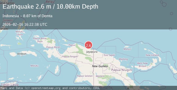
A 2.6 magnitude earthquake struck on PAPUA REGION, INDONESIA, at Mon, 16 Feb 2026 16:22:38 GMT. Depth: 10km. Reviewed by BMKG seismologists, this minor quake occurred at a magnitude type of m.
Magnitude
2.6
m
Source
BMKG
Intensity
-
Agency Reports
1 Sources| Source | Magnitude | Depth | Time |
|---|---|---|---|
| BMKGPrimary | 2.6 | 10 km | 3 days ago |
Earthquake Details
AutomaticEvent IDemsc_BMKG_20260216_0000240
Tsunami PotentialNo
Magnitude Typem
Nearest Places
- Tarfia60.2 km
- Tanjung Kamadara62.4 km
- Tanjung Korongwan62.7 km
- Teluk Matterer63.5 km
- Pulau Besar63.8 km
Comments
Join the discussion about this event.
Latest Earthquakes
4.2Mag
Java, Indonesia
Time2 hours ago
Depth95.46 km
SourceVYT (Automatic)
1.6Mag
Sumbawa region, Indonesia
Time2 hours ago
Depth11.47 km
SourceVYT (Automatic)
3.0Mag
southern Sumatra, Indonesia
Time2 hours ago
Depth37.96 km
SourceVYT (Automatic)
3.1Mag
Near North Coast of West Papua
Time2 hours ago
Depth10.00 km
SourceBMKG
3.1Mag
Sweden
Time2 hours ago
Depth0.00 km
SourceVYT (Automatic)
Nearby Earthquakes
2.8Mag
West Papua Region, Indonesia
Time5 days ago
Depth10.00 km
SourceBMKG
2.8Mag
West Papua Region, Indonesia
Time6 days ago
Depth10.00 km
SourceBMKG
2.4Mag
Near North Coast of West Papua
Time1 week ago
Depth10.00 km
SourceBMKG
3.0Mag
NEAR N COAST OF PAPUA, INDONESIA
Time3 months ago
Depth10.00 km
SourceBMKG (Automatic)
4.0Mag
NEAR N COAST OF PAPUA, INDONESIA
Time8 months ago
Depth10.00 km
SourceBMKG (Automatic)