Earthquake Northern Molucca Sea
Fri, 20 Feb 2026 12:42:02 GMT
Time1 hour ago
Location
0.0610, 126.6037
Depth
2.9 KM
Event Summary
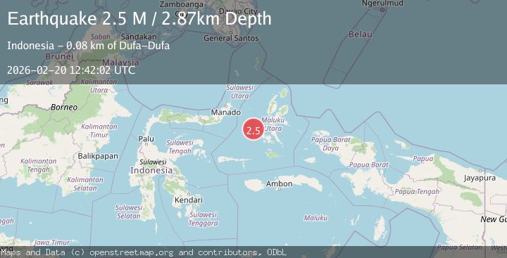
A 2.5 magnitude earthquake struck on Northern Molucca Sea, at Fri, 20 Feb 2026 12:42:02 GMT. Depth: 2.870596km. Reviewed by BMKG seismologists, this minor quake occurred at a magnitude type of M.
Magnitude
2.5
M
Source
BMKG
Intensity
-
Agency Reports
1 Sources| Source | Magnitude | Depth | Time |
|---|---|---|---|
| BMKGPrimary | 2.5 | 3 km | 1 hour ago |
Earthquake Details
ManualEvent IDbmg2026doih
Tsunami PotentialNo
Magnitude TypeM
Nearest Places
- Terumbugara37.3 km
- Ternate Trough49.3 km
- Pulau Tuapen Selatan55.3 km
- Pulau Tuapen55.4 km
- Pulau Tuapen Utara55.6 km
Comments
Join the discussion about this event.
Latest Earthquakes
2.6Mag
Sumba region, Indonesia
Time1 hour ago
Depth0.00 km
SourceVYT (Automatic)
3.2Mag
Timor region, Indonesia
Time1 hour ago
Depth133.91 km
SourceVYT (Automatic)
2.5Mag
Timor Region
Time1 hour ago
Depth11.14 km
SourceBMKG
1.2Mag
2 km N of Loma Linda, CA
Time1 hour ago
Depth11.22 km
SourceUSGS (Automatic)
3.2Mag
Alaska Peninsula
Time1 hour ago
Depth10.00 km
SourceVYT (Automatic)
Nearby Earthquakes
3.0Mag
MOLUCCA SEA
Time1 year ago
Depth30.00 km
SourceBMKG (Automatic)
3.1Mag
Northern Molucca Sea
Time2 weeks ago
Depth34.27 km
SourceBMKG (Automatic)
5.1Mag
MOLUCCA SEA
Time1 year ago
Depth57.00 km
SourceEMSC (Automatic)
3.0Mag
MOLUCCA SEA
Time3 years ago
Depth29.00 km
SourceDJA (Automatic)
5.7Mag
MOLUCCA SEA
Time18 years ago
Depth40.00 km
SourceEMSC (Automatic)