Earthquake Near North Coast of West Papua
Sat, 21 Feb 2026 21:55:37 GMT
Time1 hour ago
Location
-2.3637, 140.5716
Depth
10.0 KM
Event Summary
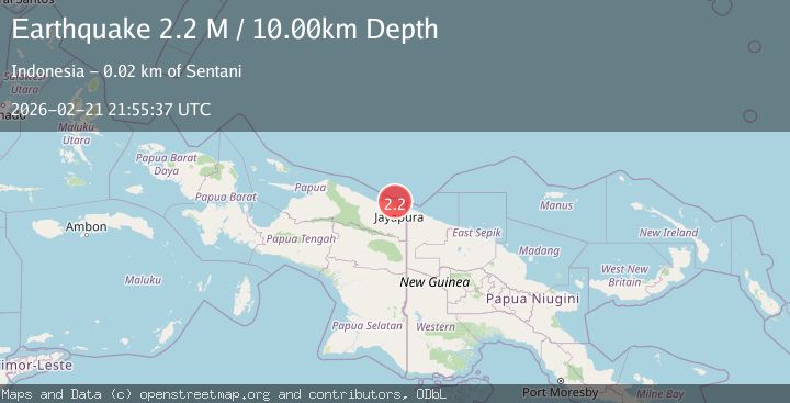
A 2.2 magnitude earthquake struck on Near North Coast of West Papua, at Sat, 21 Feb 2026 21:55:37 GMT. Depth: 10km. Reviewed by BMKG seismologists, this minor quake occurred at a magnitude type of M.
Magnitude
2.2
M
Source
BMKG
Intensity
-
Agency Reports
1 Sources| Source | Magnitude | Depth | Time |
|---|---|---|---|
| BMKGPrimary | 2.2 | 10 km | 1 hour ago |
Earthquake Details
ManualEvent IDbmg2026dqwb
Tsunami PotentialNo
Magnitude TypeM
Nearest Places
- 9.0 km
- 9.7 km
- 10.3 km
- 10.6 km
- 12.3 km
Comments
Join the discussion about this event.
Latest Earthquakes
2.3Mag
Alaska Peninsula
Time1 hour ago
Depth146.61 km
SourceVYT (Automatic)
1.7Mag
77 km NW of Yakutat, Alaska
Time1 hour ago
Depth8.20 km
SourceUSGS (Automatic)
3.2Mag
INDIA-BANGLADESH BORDER REGION
Time1 hour ago
Depth25.20 km
SourceNDI (Automatic)
2.5Mag
Northern Sumatra, Indonesia
Time1 hour ago
Depth5.00 km
SourceBMKG
2.6Mag
TURKEY-SYRIA BORDER REGION
Time1 hour ago
Depth8.80 km
SourceKOERI (Automatic)
Nearby Earthquakes
3.0Mag
NEAR N COAST OF PAPUA, INDONESIA
Time2 months ago
Depth10.00 km
SourceBMKG (Automatic)
3.0Mag
NEAR N COAST OF PAPUA, INDONESIA
Time0 years ago
Depth10.00 km
SourceBMKG (Automatic)
2.3Mag
Near North Coast of West Papua
Time5 hours ago
Depth10.00 km
SourceBMKG
2.6Mag
NEAR N COAST OF PAPUA, INDONESIA
Time1 month ago
Depth11.00 km
SourceBMKG (Automatic)
2.5Mag
Near North Coast of West Papua
Time3 weeks ago
Depth10.00 km
SourceBMKG (Automatic)