Earthquake Northern Sumatra, Indonesia
Tue, 24 Feb 2026 08:44:01 GMT
Time1 hour ago
Location
4.1625, 97.4347
Depth
3.9 KM
Event Summary
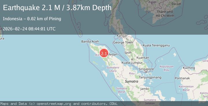
A 2.1 magnitude earthquake struck on Northern Sumatra, Indonesia, at Tue, 24 Feb 2026 08:44:01 GMT. Depth: 3.871115km. Reviewed by BMKG seismologists, this minor quake occurred at a magnitude type of M.
Magnitude
2.1
M
Source
BMKG
Intensity
-
Agency Reports
1 Sources| Source | Magnitude | Depth | Time |
|---|---|---|---|
| BMKGPrimary | 2.1 | 4 km | 1 hour ago |
Earthquake Details
ManualEvent IDbmg2026dvil
Tsunami PotentialNo
Magnitude TypeM
Nearest Places
- 2.1 km
- 2.2 km
- 2.3 km
- 3.5 km
- 4.0 km
Comments
Join the discussion about this event.
Latest Earthquakes
2.2Mag
Potosi, Bolivia
Time1 hour ago
Depth3.91 km
SourceVYT (Automatic)
2.4Mag
Antofagasta, Chile
Time1 hour ago
Depth24.41 km
SourceVYT (Automatic)
1.7Mag
Southeastern Alaska
Time1 hour ago
Depth0.00 km
SourceVYT (Automatic)
1.7Mag
near the coast of Tarapaca, Chile
Time1 hour ago
Depth3.91 km
SourceVYT (Automatic)
1.8Mag
northwestern Russia
Time1 hour ago
Depth0.00 km
SourceVYT (Automatic)
Nearby Earthquakes
2.5Mag
Northern Sumatra, Indonesia
Time4 days ago
Depth1.49 km
SourceBMKG
2.6Mag
Northern Sumatra, Indonesia
Time3 weeks ago
Depth1.11 km
SourceBMKG (Automatic)
2.1Mag
Northern Sumatra, Indonesia
Time3 weeks ago
Depth2.00 km
SourceBMKG (Automatic)
2.2Mag
Northern Sumatra, Indonesia
Time1 week ago
Depth5.00 km
SourceBMKG
2.1Mag
Northern Sumatra, Indonesia
Time5 days ago
Depth3.27 km
SourceBMKG