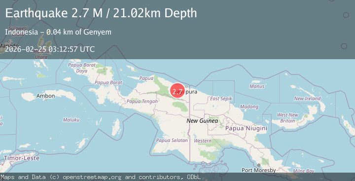
Earthquake Near North Coast of West Papua
Wed, 25 Feb 2026 03:12:57 GMT
Time1 hour ago
Location
-2.8649, 139.9529
Depth
21.0 KM
Event Summary
A 2.7 magnitude earthquake struck on Near North Coast of West Papua, at Wed, 25 Feb 2026 03:12:57 GMT. Depth: 21.016016km. Reviewed by BMKG seismologists, this minor quake occurred at a magnitude type of M.
Magnitude
2.7
M
Source
BMKG
Intensity
-
Agency Reports
1 Sources| Source | Magnitude | Depth | Time |
|---|---|---|---|
| BMKGPrimary | 2.7 | 21 km | 1 hour ago |
Earthquake Details
ManualEvent IDbmg2026dwta
Tsunami PotentialNo
Magnitude TypeM
Nearest Places
- 8.8 km
- 12.7 km
- 13.0 km
- 13.1 km
- 13.6 km
Comments
Join the discussion about this event.
Latest Earthquakes
2.3Mag
Sulawesi, Indonesia
Time1 hour ago
Depth3.08 km
SourceBMKG
1.9Mag
9 km NNW of Neah Bay, Washington
Time1 hour ago
Depth32.27 km
SourceUSGS (Automatic)
3.0Mag
WESTERN TURKEY
Time1 hour ago
Depth7.50 km
SourceAFAD (Automatic)
1.8Mag
Central Alaska
Time1 hour ago
Depth0.00 km
SourceVYT (Automatic)
2.8Mag
SAN JUAN, ARGENTINA
Time1 hour ago
Depth106.00 km
SourceNSNA (Automatic)
Nearby Earthquakes
3.0Mag
NEAR N COAST OF PAPUA, INDONESIA
Time5 years ago
Depth49.00 km
SourceDJA (Automatic)
2.6Mag
Near North Coast of West Papua
Time5 days ago
Depth33.87 km
SourceBMKG
2.1Mag
Near North Coast of West Papua
Time2 weeks ago
Depth21.79 km
SourceBMKG (Automatic)
2.9Mag
Near North Coast of West Papua
Time3 weeks ago
Depth25.99 km
SourceBMKG (Automatic)
2.6Mag
Near North Coast of West Papua
Time2 weeks ago
Depth10.00 km
SourceBMKG (Automatic)