Earthquake Near North Coast of West Papua
Thu, 26 Feb 2026 16:29:33 GMT
Time1 hour ago
Location
-2.2512, 140.0841
Depth
10.0 KM
Event Summary
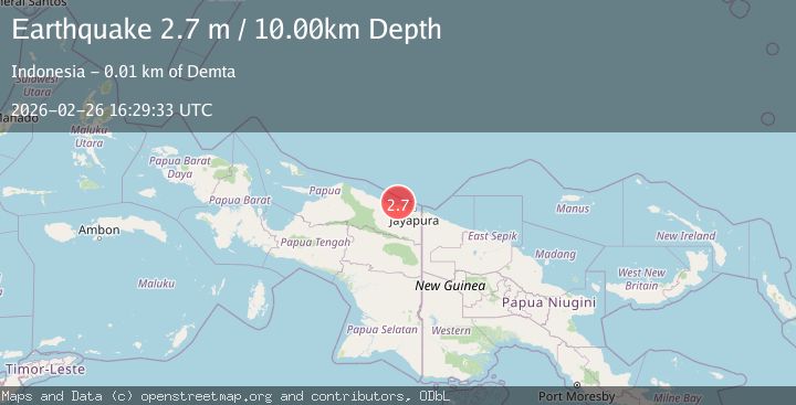
A 2.7 magnitude earthquake struck on Near North Coast of West Papua, at Thu, 26 Feb 2026 16:29:33 GMT. Depth: 10km. Reviewed by BMKG seismologists, this minor quake occurred at a magnitude type of M.
Magnitude
2.7
M
Source
BMKG
Intensity
-
Agency Reports
1 Sources| Source | Magnitude | Depth | Time |
|---|---|---|---|
| BMKGPrimary | 2.7 | 10 km | 1 hour ago |
Earthquake Details
ManualEvent IDbmg2026dzov
Tsunami PotentialNo
Magnitude TypeM
Nearest Places
- 5.7 km
- 8.5 km
- 10.2 km
- 10.3 km
- 11.0 km
Comments
Join the discussion about this event.
Latest Earthquakes
2.6Mag
Tarapaca, Chile
Time1 hour ago
Depth0.00 km
SourceVYT (Automatic)
2.9Mag
OKLAHOMA
Time1 hour ago
Depth1.50 km
SourceOK (Automatic)
1.3Mag
21 km SE of Bodfish, CA
Time1 hour ago
Depth1.96 km
SourceUSGS (Automatic)
1.9Mag
Southern Alaska
Time1 hour ago
Depth36.50 km
SourceVYT (Automatic)
1.2Mag
11 km E of Ocotillo Wells, CA
Time1 hour ago
Depth8.55 km
SourceUSGS (Automatic)
Nearby Earthquakes
3.3Mag
Near North Coast of West Papua
Time2 weeks ago
Depth10.00 km
SourceBMKG (Automatic)
3.0Mag
NEAR N COAST OF PAPUA, INDONESIA
Time4 years ago
Depth10.00 km
SourceDJA (Automatic)
3.0Mag
Near North Coast of West Papua
Time1 week ago
Depth10.00 km
SourceBMKG
2.8Mag
Near North Coast of West Papua
Time2 weeks ago
Depth10.00 km
SourceBMKG
2.2Mag
Near North Coast of West Papua
Time1 week ago
Depth10.00 km
SourceBMKG