Earthquake Near North Coast of West Papua
Mon, 02 Mar 2026 15:35:35 GMT
Time3 hours ago
Location
-2.8848, 140.0260
Depth
10.0 KM
Event Summary
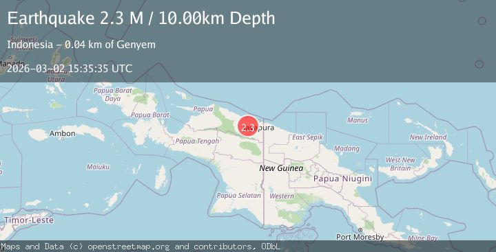
A 2.3 magnitude earthquake struck on Near North Coast of West Papua, at Mon, 02 Mar 2026 15:35:35 GMT. Depth: 10km. Reviewed by BMKG seismologists, this minor quake occurred at a magnitude type of M.
Magnitude
2.3
M
Source
BMKG
Intensity
-
Agency Reports
1 Sources| Source | Magnitude | Depth | Time |
|---|---|---|---|
| BMKGPrimary | 2.3 | 10 km | 3 hours ago |
Earthquake Details
ManualEvent IDbmg2026egvb
Tsunami PotentialNo
Magnitude TypeM
Nearest Places
- 1.3 km
- 8.7 km
- 9.8 km
- 9.9 km
- 11.3 km
Comments
Join the discussion about this event.
Latest Earthquakes
2.2Mag
British Columbia, Canada
Time3 hours ago
Depth0.00 km
SourceVYT (Automatic)
0.9Mag
Southern Alaska
Time3 hours ago
Depth13.79 km
SourceVYT (Automatic)
2.8Mag
Java, Indonesia
Time3 hours ago
Depth0.00 km
SourceVYT (Automatic)
1.5Mag
Central Alaska
Time4 hours ago
Depth109.25 km
SourceVYT (Automatic)
2.1Mag
Tarapaca, Chile
Time4 hours ago
Depth50.05 km
SourceVYT (Automatic)
Nearby Earthquakes
2.9Mag
Near North Coast of West Papua
Time1 month ago
Depth25.99 km
SourceBMKG (Automatic)
3.2Mag
NEAR N COAST OF PAPUA, INDONESIA
Time1 month ago
Depth22.00 km
SourceBMKG (Automatic)
2.4Mag
Near North Coast of West Papua
Time1 month ago
Depth10.00 km
SourceBMKG (Automatic)
2.7Mag
Near North Coast of West Papua
Time5 days ago
Depth21.02 km
SourceBMKG
2.1Mag
Near North Coast of West Papua
Time3 weeks ago
Depth21.79 km
SourceBMKG (Automatic)