Earthquake South of Bali, Indonesia
Mon, 02 Mar 2026 19:45:05 GMT
Time1 hour ago
Location
-9.3739, 114.4847
Depth
9.6 KM
Event Summary
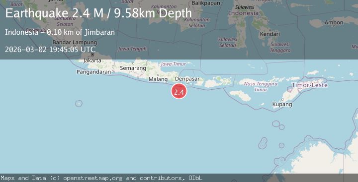
A 2.4 magnitude earthquake struck on South of Bali, Indonesia, at Mon, 02 Mar 2026 19:45:05 GMT. Depth: 9.581823km. Reviewed by BMKG seismologists, this minor quake occurred at a magnitude type of M.
Magnitude
2.4
M
Source
BMKG
Intensity
-
Agency Reports
1 Sources| Source | Magnitude | Depth | Time |
|---|---|---|---|
| BMKGPrimary | 2.4 | 10 km | 1 hour ago |
Earthquake Details
ManualEvent IDbmg2026ehdh
Tsunami PotentialNo
Magnitude TypeM
Nearest Places
- 66.3 km
- 67.8 km
- 68.8 km
- 68.8 km
- 71.1 km
Comments
Join the discussion about this event.
Latest Earthquakes
0.8Mag
82 km NNW of Karluk, Alaska
Time1 hour ago
Depth5.00 km
SourceUSGS (Automatic)
1.6Mag
Southern Alaska
Time1 hour ago
Depth27.34 km
SourceVYT (Automatic)
1.7Mag
12 km S of Boulder City, Nevada
Time1 hour ago
Depth15.99 km
SourceUSGS (Automatic)
2.7Mag
Southeastern Alaska
Time1 hour ago
Depth0.61 km
SourceVYT (Automatic)
2.0Mag
Southern Yukon Territory, Canada
Time1 hour ago
Depth0.00 km
SourceVYT (Automatic)
Nearby Earthquakes
2.6Mag
South of Bali, Indonesia
Time1 day ago
Depth24.27 km
SourceBMKG
3.0Mag
SOUTH OF BALI, INDONESIA
Time4 years ago
Depth10.00 km
SourceDJA (Automatic)
6.1Mag
SOUTH OF BALI, INDONESIA
Time14 years ago
Depth60.00 km
SourceEMSC (Automatic)
4.0Mag
SOUTH OF BALI, INDONESIA
Time3 years ago
Depth10.00 km
SourceDJA (Automatic)
2.7Mag
South of Bali, Indonesia
Time1 week ago
Depth10.00 km
SourceBMKG