Earthquake 91 km WNW of Karluk, Alaska
Tue, 13 Jan 2026 02:59:29 GMT
Time3 hours ago
Location
57.9570, -155.8120
Depth
75.4 KM
Event Summary
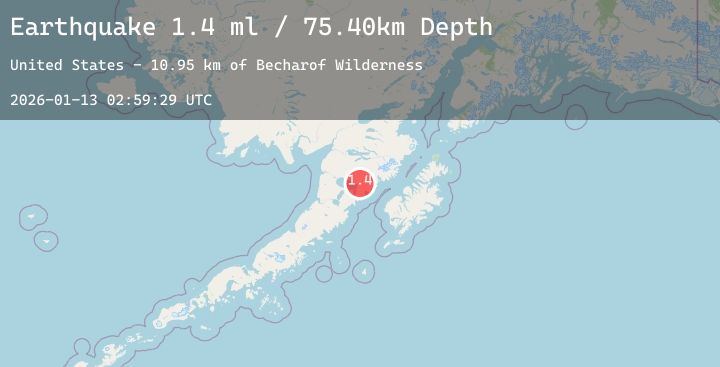
A 1.4 magnitude earthquake struck on 91 km WNW of Karluk, Alaska, at Tue, 13 Jan 2026 02:59:29 GMT. Depth: 75.4km. Reviewed by USGS seismologists, this minor quake occurred at a magnitude type of ml.
Magnitude
1.4
ml
Source
USGS
Intensity
-
Agency Reports
1 Sources| Source | Magnitude | Depth | Time |
|---|---|---|---|
| USGSPrimary | 1.4 | 75 km | 3 hours ago |
Earthquake Details
AutomaticEvent IDusgs_ak2026awgrct
Tsunami PotentialNo
Magnitude Typeml
Nearest Places
- Becharof Wilderness10.9 km
- Marie Creek11.5 km
- Katrine Creek12.3 km
- East Fork Kejulik River13.3 km
- Kejulik River13.7 km
Comments
Join the discussion about this event.
Latest Earthquakes
2.8Mag
92 km SSE of Ugashik, Alaska
Time8 minutes ago
Depth68.10 km
SourceUSGS (Automatic)
2.0Mag
13 km ESE of Angwin, CA
Time22 minutes ago
Depth-0.20 km
SourceUSGS (Automatic)
1.5Mag
11 km WSW of Stanton, Texas
Time28 minutes ago
Depth4.79 km
SourceUSGS (Automatic)
2.7Mag
ANTOFAGASTA, CHILE
Time28 minutes ago
Depth120.00 km
SourceCSN (Automatic)
2.2Mag
73 km S of Nanwalek, Alaska
Time32 minutes ago
Depth47.50 km
SourceUSGS (Automatic)
Nearby Earthquakes
1.2Mag
86 km NNW of Karluk, Alaska
Time33 minutes ago
Depth5.00 km
SourceUSGS (Automatic)
1.0Mag
85 km NW of Karluk, Alaska
Time2 hours ago
Depth5.00 km
SourceUSGS (Automatic)
0.9Mag
85 km NNW of Karluk, Alaska
Time5 hours ago
Depth5.00 km
SourceUSGS (Automatic)
1.8Mag
88 km WNW of Karluk, Alaska
Time9 hours ago
Depth12.20 km
SourceUSGS (Automatic)