Earthquake 8 km WNW of The Geysers, CA
Tue, 13 Jan 2026 02:49:59 GMT
Time1 hour ago
Location
38.8180, -122.8388
Depth
2.2 KM
Event Summary
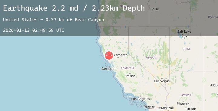
A 2.2 magnitude earthquake struck on 8 km WNW of The Geysers, CA, at Tue, 13 Jan 2026 02:49:59 GMT. Depth: 2.23000001907349km. Reviewed by USGS seismologists, this minor quake occurred at a magnitude type of md.
Magnitude
2.2
md
Source
USGS
Intensity
-
Agency Reports
2 Sources| Source | Magnitude | Depth | Time |
|---|---|---|---|
| USGSPrimary | 2.2 | 2 km | 1 hour ago |
| NC | 2.2 | 2 km | 1 hour ago |
Earthquake Details
AutomaticEvent IDusgs_nc75294821
Tsunami PotentialNo
Magnitude Typemd
Nearest Places
- Adit Number One-One Hundred Twenty1.4 km
- Eagle Rock1.4 km
- Adit Number One1.5 km
- Black Oaks1.5 km
- Truitt Creek1.6 km
Comments
Join the discussion about this event.
Latest Earthquakes
2.4Mag
Northern Sumatra, Indonesia
Time1 hour ago
Depth3.77 km
SourceBMKG (Automatic)
2.0Mag
WESTERN TEXAS
Time1 hour ago
Depth4.10 km
SourceTX (Automatic)
2.7Mag
WESTERN AUSTRALIA
Time1 hour ago
Depth10.00 km
SourceAUST (Automatic)
3.3Mag
Minahassa Peninsula, Sulawesi
Time1 hour ago
Depth174.73 km
SourceBMKG (Automatic)
2.3Mag
64 km W of Nanwalek, Alaska
Time1 hour ago
Depth82.80 km
SourceUSGS (Automatic)
Nearby Earthquakes
0.8Mag
9 km NW of The Geysers, CA
Time2 hours ago
Depth2.20 km
SourceUSGS (Automatic)
1.4Mag
1 km NNW of Middletown, CA
Time3 hours ago
Depth7.23 km
SourceUSGS (Automatic)
1.0Mag
6 km NW of The Geysers, CA
Time5 hours ago
Depth2.63 km
SourceUSGS (Automatic)
0.7Mag
3 km NW of The Geysers, CA
Time6 hours ago
Depth3.53 km
SourceUSGS (Automatic)
0.5Mag
3 km N of The Geysers, CA
Time7 hours ago
Depth2.64 km
SourceUSGS (Automatic)