Earthquake WESTERN TEXAS
Fri, 16 Jan 2026 03:23:06 GMT
Time2 hours ago
Location
31.5230, -104.0130
Depth
4.7 KM
Event Summary
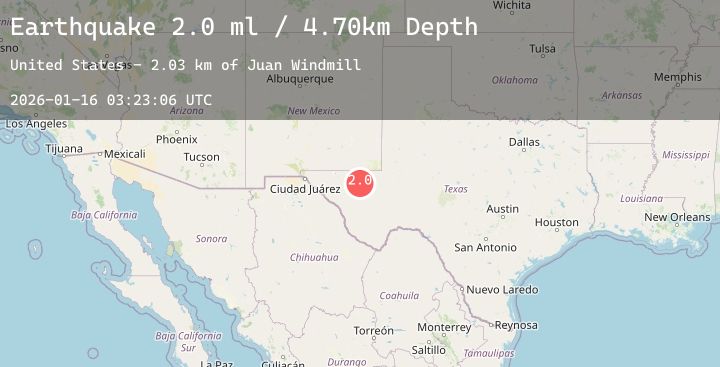
A 2.0 magnitude earthquake struck on WESTERN TEXAS, at Fri, 16 Jan 2026 03:23:06 GMT. Depth: 4.7km. Reviewed by TX seismologists, this minor quake occurred at a magnitude type of ml.
Magnitude
2.0
ml
Source
TX
Intensity
-
Agency Reports
1 Sources| Source | Magnitude | Depth | Time |
|---|---|---|---|
| TXPrimary | 2.0 | 5 km | 2 hours ago |
Earthquake Details
AutomaticEvent IDemsc_20260116_0000044
Tsunami PotentialNo
Magnitude Typeml
Nearest Places
- Juan Windmill2.4 km
- Dry Lake4.3 km
- Lynn Tank5.9 km
- Dutch Draw6.0 km
- Oil Well Windmill7.1 km
Comments
Join the discussion about this event.
Latest Earthquakes
1.3Mag
5 km WNW of Orinda, CA
Time2 hours ago
Depth6.98 km
SourceUSGS (Automatic)
2.1Mag
57 km WNW of Anchor Point, Alaska
Time2 hours ago
Depth91.50 km
SourceUSGS (Automatic)
4.6Mag
TAIWAN
Time2 hours ago
Depth15.10 km
SourceCWB (Automatic)
1.8Mag
19 km ESE of Naalehu, Hawaii
Time2 hours ago
Depth35.59 km
SourceUSGS (Automatic)
1.2Mag
26 km WSW of Westmorland, CA
Time2 hours ago
Depth9.33 km
SourceUSGS (Automatic)
Nearby Earthquakes
3.1Mag
30 km NW of Toyah, Texas
Time4 hours ago
Depth4.50 km
SourceUSGS (Automatic)
2.0Mag
30 km NW of Toyah, Texas
Time6 hours ago
Depth4.75 km
SourceUSGS (Automatic)
1.8Mag
42 km NW of Toyah, Texas
Time8 hours ago
Depth4.49 km
SourceUSGS (Automatic)
2.3Mag
WESTERN TEXAS
Time10 hours ago
Depth4.20 km
SourceTX (Automatic)
1.5Mag
55 km S of Whites City, New Mexico
Time13 hours ago
Depth3.87 km
SourceUSGS (Automatic)