Earthquake 30 km NW of Toyah, Texas
Fri, 16 Jan 2026 01:42:54 GMT
Time1 hour ago
Location
31.5220, -104.0090
Depth
4.5 KM
Event Summary
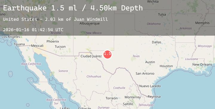
A 3.1 magnitude earthquake struck on 30 km NW of Toyah, Texas, at Fri, 16 Jan 2026 01:42:54 GMT. Depth: 4.498km. Reviewed by USGS seismologists, this minor quake occurred at a magnitude type of ml.
Magnitude
3.1
ml
Source
USGS
Intensity
-
Agency Reports
4 Sources| Source | Magnitude | Depth | Time |
|---|---|---|---|
| USGSPrimary | 1.5 | 4 km | 1 hour ago |
| USGSPrimary | 1.6 | 5 km | 1 hour ago |
| TX | 3.1 | 6 km | 1 hour ago |
| USGSPrimary | 3.0 | 10 km | 1 hour ago |
Earthquake Details
AutomaticEvent IDusgs_tx2026bbrhwp
Tsunami PotentialNo
Magnitude Typeml
Nearest Places
- Juan Windmill2.6 km
- Dry Lake4.6 km
- Lynn Tank5.7 km
- Dutch Draw6.4 km
- Oil Well Windmill6.8 km
Comments
Join the discussion about this event.
Latest Earthquakes
0.7Mag
3 km NW of The Geysers, CA
Time4 minutes ago
Depth1.14 km
SourceUSGS (Automatic)
2.6Mag
NEAR COAST OF NICARAGUA
Time7 minutes ago
Depth29.00 km
SourceINET (Automatic)
3.4Mag
7 km WSW of Morongo Valley, CA
Time8 minutes ago
Depth7.75 km
SourceUSGS (Automatic)
6.0Mag
off the coast of Oregon
Time11 minutes ago
Depth7.15 km
SourceUSGS
1.7Mag
57 km E of Egegik, Alaska
Time11 minutes ago
Depth10.50 km
SourceUSGS (Automatic)
Nearby Earthquakes
2.0Mag
WESTERN TEXAS
Time14 minutes ago
Depth4.70 km
SourceTX (Automatic)
2.0Mag
30 km NW of Toyah, Texas
Time4 hours ago
Depth4.75 km
SourceUSGS (Automatic)
1.8Mag
42 km NW of Toyah, Texas
Time6 hours ago
Depth4.49 km
SourceUSGS (Automatic)
2.3Mag
WESTERN TEXAS
Time7 hours ago
Depth4.20 km
SourceTX (Automatic)
1.5Mag
55 km S of Whites City, New Mexico
Time11 hours ago
Depth3.87 km
SourceUSGS (Automatic)