Earthquake SOUTHERN YUKON TERRITORY, CANADA
Sun, 04 Jan 2026 12:44:05 GMT
Time1 month ago
Location
60.5280, -139.9650
Depth
5.0 KM
Event Summary
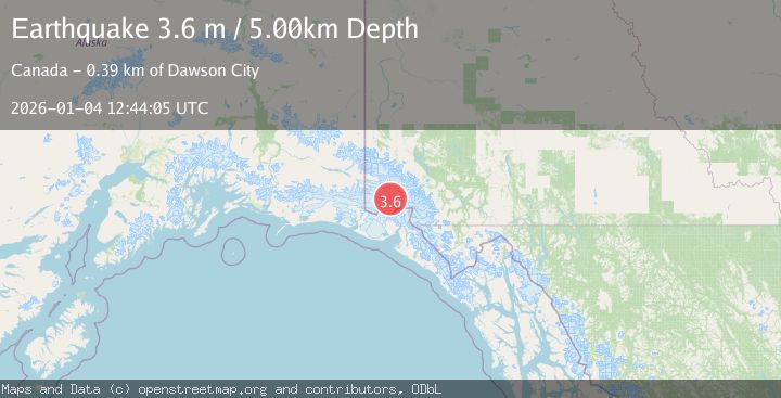
A 3.6 magnitude earthquake struck on SOUTHERN YUKON TERRITORY, CANADA, at Sun, 04 Jan 2026 12:44:05 GMT. Depth: 5km. Reviewed by AK seismologists, this minor quake occurred at a magnitude type of m.
Magnitude
3.6
m
Source
AK
Intensity
-
Agency Reports
1 Sources| Source | Magnitude | Depth | Time |
|---|---|---|---|
| AKPrimary | 3.6 | 5 km | 1 month ago |
Earthquake Details
AutomaticEvent IDemsc_AK_20260104_0000218
Tsunami PotentialNo
Magnitude Typem
Nearest Places
- Marker Lake2.1 km
- Mount King George9.7 km
- McArthur Peak16.1 km
- Mount Queen Mary17.2 km
- Mount Vancouver23.9 km
Comments
Join the discussion about this event.
Latest Earthquakes
2.8Mag
West Papua Region, Indonesia
Time4 minutes ago
Depth34.12 km
SourceBMKG
3.6Mag
NORTHERN ALGERIA
Time11 minutes ago
Depth5.80 km
SourceIGN (Automatic)
2.6Mag
Java, Indonesia
Time14 minutes ago
Depth214.22 km
SourceBMKG
1.0Mag
Southeastern Alaska
Time15 minutes ago
Depth0.00 km
SourceVYT (Automatic)
3.5Mag
COOK STRAIT, NEW ZEALAND
Time16 minutes ago
Depth75.30 km
SourceGNS (Automatic)
Nearby Earthquakes
1.8Mag
110 km N of Yakutat, Alaska
Time3 weeks ago
Depth9.50 km
SourceUSGS
4.3Mag
SOUTHERN YUKON TERRITORY, CANADA
Time1 month ago
Depth5.00 km
SourceAK (Automatic)
3.3Mag
SOUTHERN YUKON TERRITORY, CANADA
Time1 month ago
Depth5.00 km
SourceNEIC (Automatic)
3.0Mag
SOUTHERN YUKON TERRITORY, CANADA
Time2 months ago
Depth5.10 km
SourceNEIC (Automatic)
2.5Mag
SOUTHERN YUKON TERRITORY, CANADA
Time1 week ago
Depth5.00 km
SourceCN (Automatic)