Earthquake 99 km NNW of Yakutat, Alaska
Mon, 26 Jan 2026 22:05:50 GMT
Time9 hours ago
Location
60.3230, -140.6150
Depth
0.3 KM
Event Summary
A 1.4 magnitude earthquake struck on 99 km NNW of Yakutat, Alaska, at Mon, 26 Jan 2026 22:05:50 GMT. Depth: 0.3km. Reviewed by USGS seismologists, this minor quake occurred at a magnitude type of ml.
Magnitude
1.4
ml
Source
USGS
Intensity
-
Agency Reports
1 Sources| Source | Magnitude | Depth | Time |
|---|---|---|---|
| USGSPrimary | 1.4 | 0 km | 9 hours ago |
Earthquake Details
AutomaticEvent IDusgs_ak2026bvpcnb
Tsunami PotentialNo
Magnitude Typeml
Nearest Places
- Mount Bering1.1 km
- Mount Malaspina2.3 km
- Mount Baird5.0 km
- Mount Jeannette6.2 km
- Newton Glacier7.4 km
Comments
Join the discussion about this event.
Latest Earthquakes
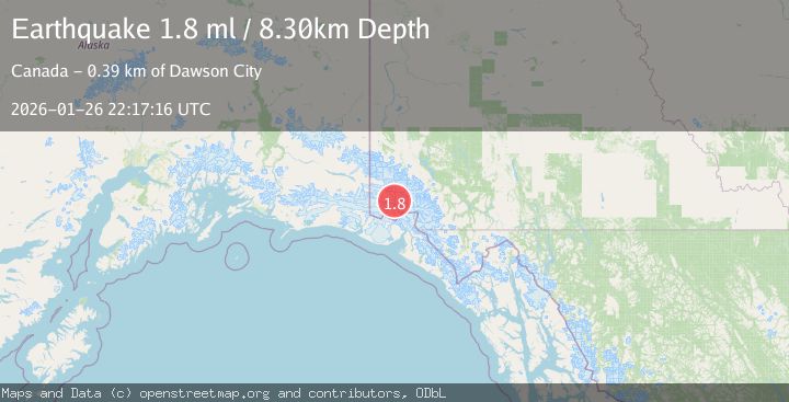
1.8Mag
15 km NNW of Tatitlek, Alaska
Time9 hours ago
Depth8.00 km
SourceUSGS (Automatic)
3.8Mag
MINDANAO, PHILIPPINES
Time9 hours ago
Depth10.00 km
SourcePIVS (Automatic)
2.0Mag
Minahassa Peninsula, Sulawesi
Time9 hours ago
Depth3.11 km
SourceBMKG (Automatic)
4.7Mag
New Guinea, Papua New Guinea
Time9 hours ago
Depth48.69 km
SourceBMKG (Automatic)
2.3Mag
Flores Sea
Time9 hours ago
Depth21.75 km
SourceBMKG (Automatic)
Nearby Earthquakes
1.6Mag
102 km NW of Yakutat, Alaska
Time1 day ago
Depth15.10 km
SourceUSGS (Automatic)
0.9Mag
88 km NNW of Yakutat, Alaska
Time3 days ago
Depth36.90 km
SourceUSGS (Automatic)
2.2Mag
110 km NW of Yakutat, Alaska
Time3 days ago
Depth16.90 km
SourceUSGS (Automatic)
0.8Mag
120 km NW of Yakutat, Alaska
Time3 days ago
Depth5.00 km
SourceUSGS (Automatic)
3.2Mag
SOUTHEASTERN ALASKA
Time1 day ago
Depth6.70 km
SourceAK (Automatic)