Earthquake ALASKA PENINSULA
Wed, 14 Jan 2026 00:54:49 GMT
Time1 month ago
Location
58.1840, -156.3500
Depth
6.3 KM
Event Summary
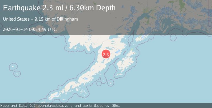
A 2.3 magnitude earthquake struck on ALASKA PENINSULA, at Wed, 14 Jan 2026 00:54:49 GMT. Depth: 6.3km. Reviewed by AK seismologists, this minor quake occurred at a magnitude type of ml.
Magnitude
2.3
ml
Source
AK
Intensity
-
Agency Reports
1 Sources| Source | Magnitude | Depth | Time |
|---|---|---|---|
| AKPrimary | 2.3 | 6 km | 1 month ago |
Earthquake Details
AutomaticEvent IDemsc_AK_20260114_0000006
Tsunami PotentialNo
Magnitude Typeml
Nearest Places
- Granite Creek4.8 km
- Gertrude Creek8.3 km
- Whale Mountain15.5 km
- Takayofo Creek20.2 km
- Contact Creek20.3 km
Comments
Join the discussion about this event.
Latest Earthquakes
2.8Mag
Sunda Strait, Indonesia
Time12 minutes ago
Depth3.61 km
SourceBMKG
3.6Mag
south of Alaska
Time12 minutes ago
Depth10.00 km
SourceVYT (Automatic)
1.2Mag
Central Alaska
Time14 minutes ago
Depth68.97 km
SourceVYT (Automatic)
1.2Mag
Washington
Time16 minutes ago
Depth0.00 km
SourceVYT (Automatic)
0.8Mag
10 km WNW of The Geysers, CA
Time23 minutes ago
Depth1.96 km
SourceUSGS (Automatic)
Nearby Earthquakes
1.9Mag
58 km SSE of King Salmon, Alaska
Time1 week ago
Depth5.00 km
SourceUSGS (Automatic)
1.5Mag
57 km SSE of King Salmon, Alaska
Time1 week ago
Depth10.40 km
SourceUSGS (Automatic)
3.0Mag
ALASKA PENINSULA
Time0 years ago
Depth8.50 km
SourceAK (Automatic)
1.4Mag
57 km E of Egegik, Alaska
Time1 week ago
Depth17.70 km
SourceUSGS (Automatic)
3.0Mag
ALASKA PENINSULA
Time3 years ago
Depth168.00 km
SourceNEIR (Automatic)