Earthquake SOUTHERN YUKON TERRITORY, CANADA
Sun, 01 Feb 2026 14:28:35 GMT
Time5 days ago
Location
60.3920, -139.4220
Depth
2.0 KM
Event Summary
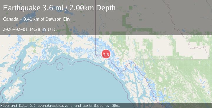
A 3.6 magnitude earthquake struck on SOUTHERN YUKON TERRITORY, CANADA, at Sun, 01 Feb 2026 14:28:35 GMT. Depth: 2km. Reviewed by AK seismologists, this minor quake occurred at a magnitude type of ml.
Magnitude
3.6
ml
Source
AK
Intensity
-
Agency Reports
2 Sources| Source | Magnitude | Depth | Time |
|---|---|---|---|
| AKPrimary | 3.6 | 2 km | 5 days ago |
| USGS | 3.6 | 2 km | 5 days ago |
Earthquake Details
AutomaticEvent IDemsc_AK_20260201_0000194
Tsunami PotentialNo
Magnitude Typeml
Nearest Places
- Hubbard Glacier5.9 km
- Hubbard Glacier9.1 km
- Mount Vancouver15.6 km
- Icefield Ranges15.9 km
- Alverstone Glacier16.4 km
Comments
Join the discussion about this event.
Latest Earthquakes
2.3Mag
Sumbawa Region, Indonesia
Time4 minutes ago
Depth10.00 km
SourceBMKG (Automatic)
1.7Mag
6 km S of Brawley, CA
Time7 minutes ago
Depth8.95 km
SourceUSGS (Automatic)
2.0Mag
EASTERN TURKEY
Time16 minutes ago
Depth12.80 km
SourceKOERI (Automatic)
1.5Mag
7 km NW of The Geysers, CA
Time26 minutes ago
Depth2.38 km
SourceUSGS (Automatic)
1.4Mag
CENTRAL TURKEY
Time27 minutes ago
Depth12.40 km
SourceEMSC (Automatic)
Nearby Earthquakes
2.5Mag
SOUTHERN YUKON TERRITORY, CANADA
Time1 week ago
Depth5.90 km
SourceNEIC (Automatic)
3.7Mag
SOUTHERN YUKON TERRITORY, CANADA
Time1 week ago
Depth5.00 km
SourceAK (Automatic)
3.7Mag
96 km N of Yakutat, Alaska
Time1 week ago
Depth5.00 km
SourceUSGS
1.8Mag
100 km N of Yakutat, Alaska
Time2 hours ago
Depth1.00 km
SourceUSGS
3.5Mag
SOUTHERN YUKON TERRITORY, CANADA
Time1 week ago
Depth5.00 km
SourceNEIC (Automatic)